There are two ways to participate in the 2021 Public Lands Ride. We are excited to promote both an in-person event returning to Black Moshannon State Park on October 2, 2021, and the release of six new routes in different state forests to be ridden anytime. Learn more here.
Overview:
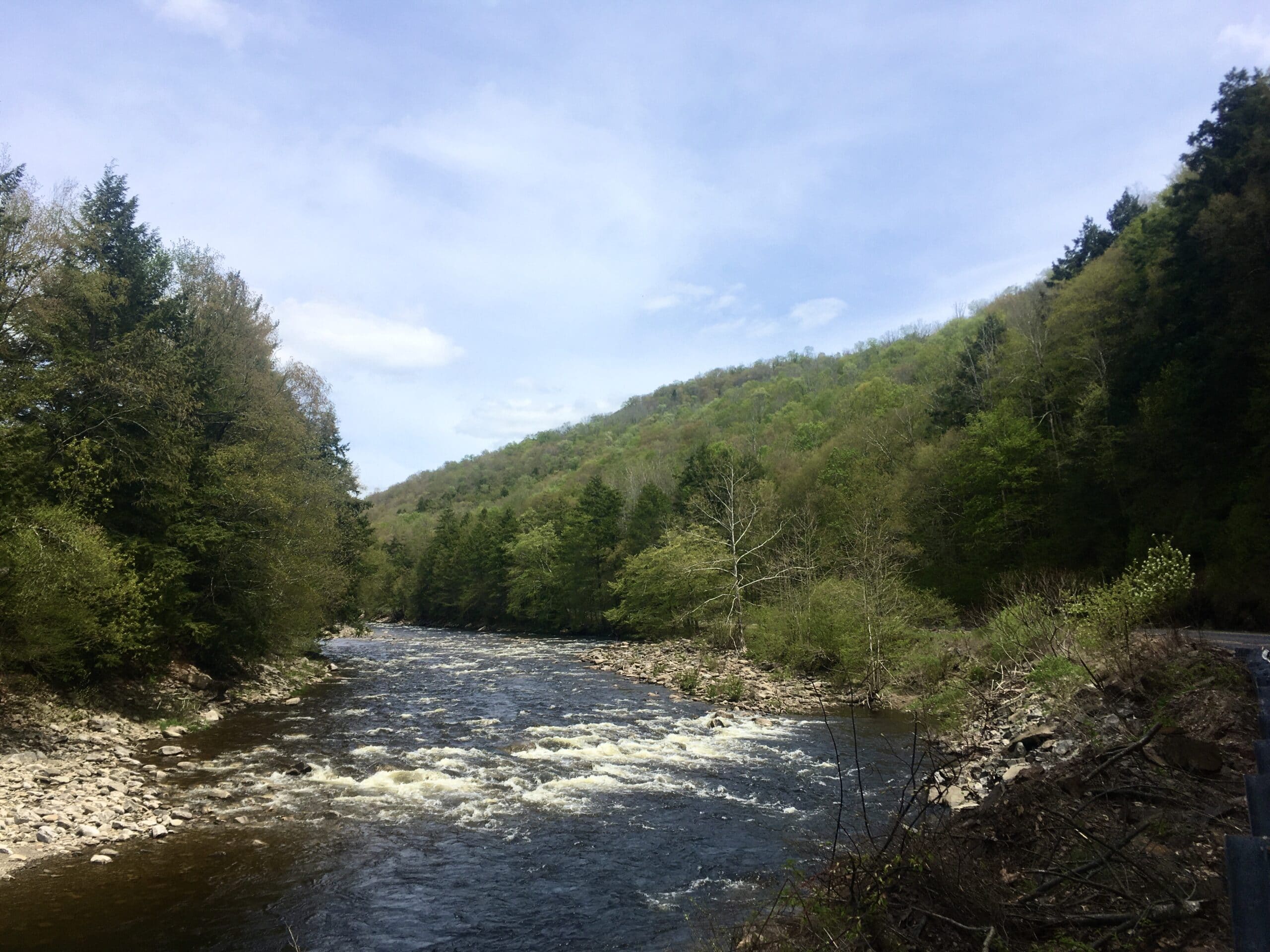
Worlds End State Park and Loyalsock State Forest are located northeast of Williamsport and most notably boast countless waterfalls, rugged trails and great vistas. The state park itself sits in a valley along Loyalsock Creek, and this route will take riders to the surrounding mountaintops. Bring your camera and climbing legs for this one!
Route Description:
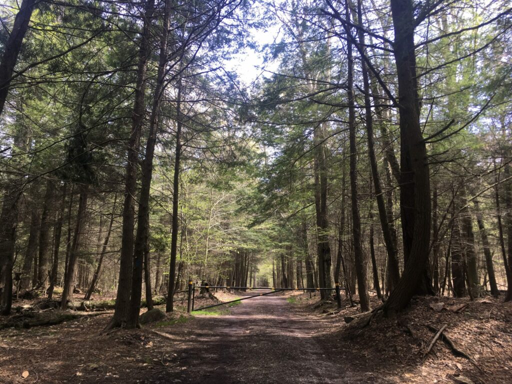
From Worlds End State Park, whether you’re beginning from the campground or the day-use area, a short jaunt on Rt. 154 along Loyalsock Creek will take you to the first climb right off the bat. Loyalsock Road ascends about 800 feet before leveling out and winding its way along a small plateau above the creek. The landscape changes from open, scrubby forest to dense pines along Big Run. The Loyalsock Trail, a 59-mile hiking trail that traverses the state forest and hits all the best vistas and countless waterfalls, crosses the road multiple times on this stretch. Just before the descent back to Rt. 154, you’ll pass Sones Pond, which was created by the Civilian Conservation Corps in the 1930s. There’s some benches and a bathroom, and it’s a nice spot to chill out and have a snack.
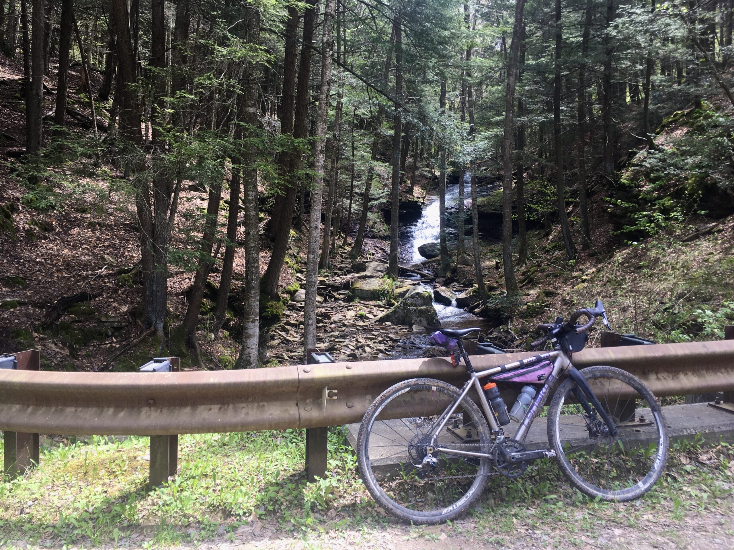
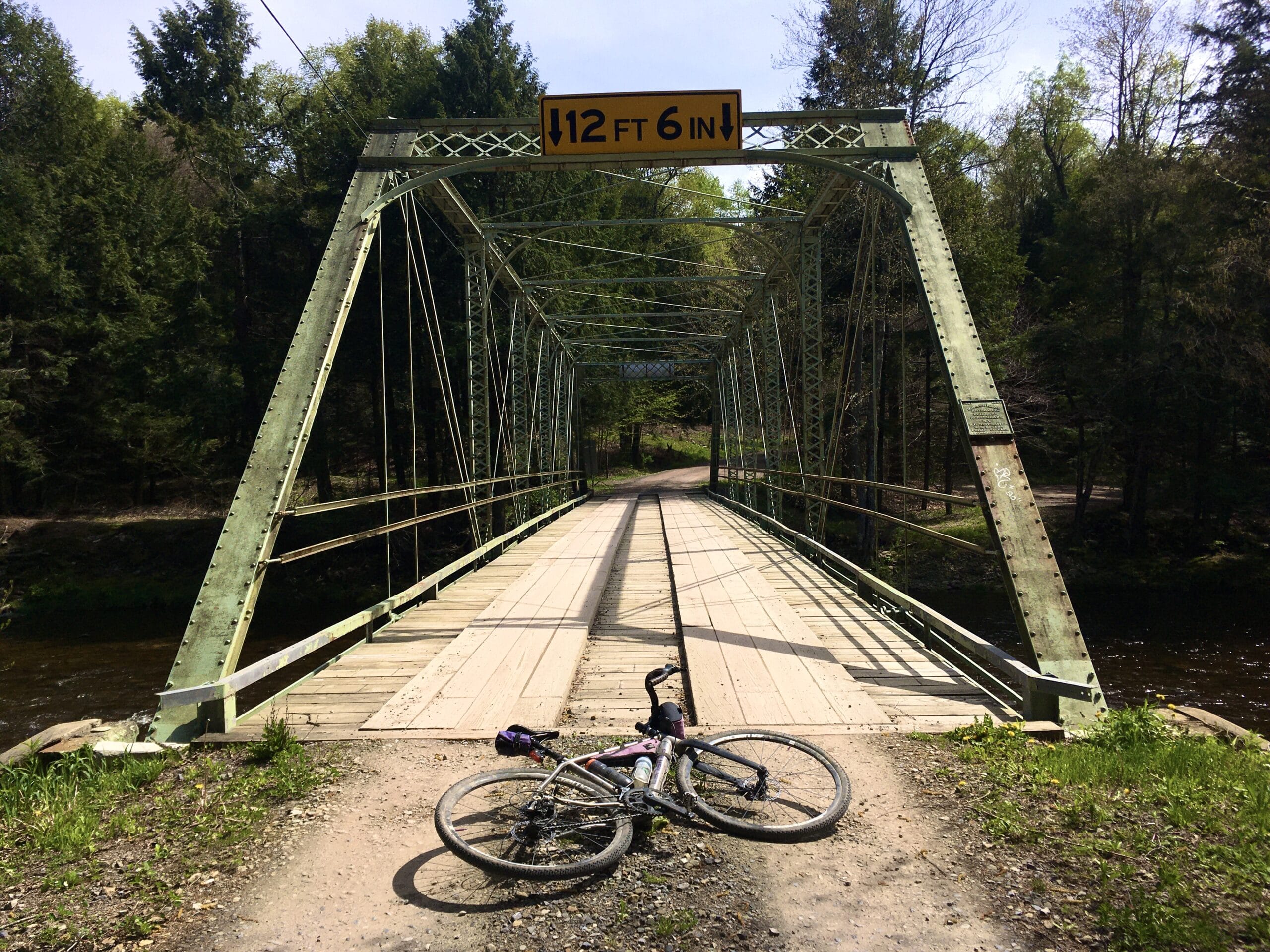
Just after making a right on Rock Run Road and beginning to head downhill, keep your eyes peeled to the right for a glimpse of the waterfall along Coal Run. It’s barely visible from the road and if you miss it, don’t worry — there will be plenty more. Back in the valley, there’s a pretty neat metal bridge spanning Loyalsock Creek. Cross over it and a small climb will take you back to Rt. 154. Turn right and travel just under a mile to Shanerburg Road, the second big climb of the day. The beginning of the Shanerburg climb is gradual and gorgeous, along the pine-lined Shanerburg Run. As it gets closer to the top, the road steepens a bit for about a mile. The top of this plateau, you’ll pass through more evergreens and some highland wetlands, and encounter rolling terrain for about a mile and a half before making a right onto Cold Run Road.
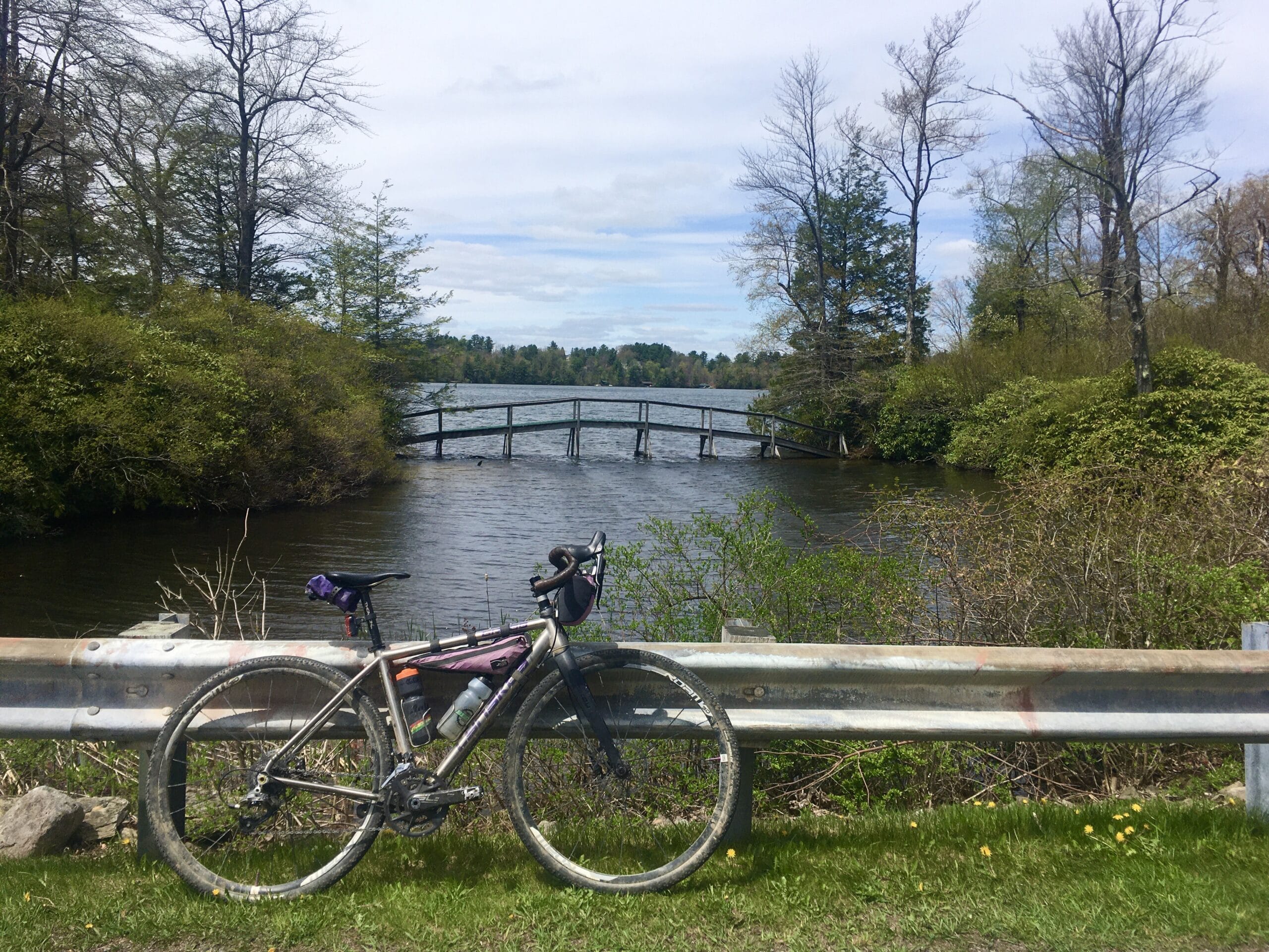
Cold Run Road hugs the edge of the plateau and offers a great view of the Loyalsock Creek valley and Worlds End State Park. If you’re so inclined, stash your bike for a minute and explore the “rock garden” that is just off the road on foot (no bikes allowed in that area). It’s a playground-like area of massive boulders. Cold Run Road will intersect with Mineral Spring Road. Make a left and start a short climb back to Shanerburg Road, taking note of another great waterfall off to the left. You’ll pass this one again at the very end of the ride, as the route descends Mineral Spring.
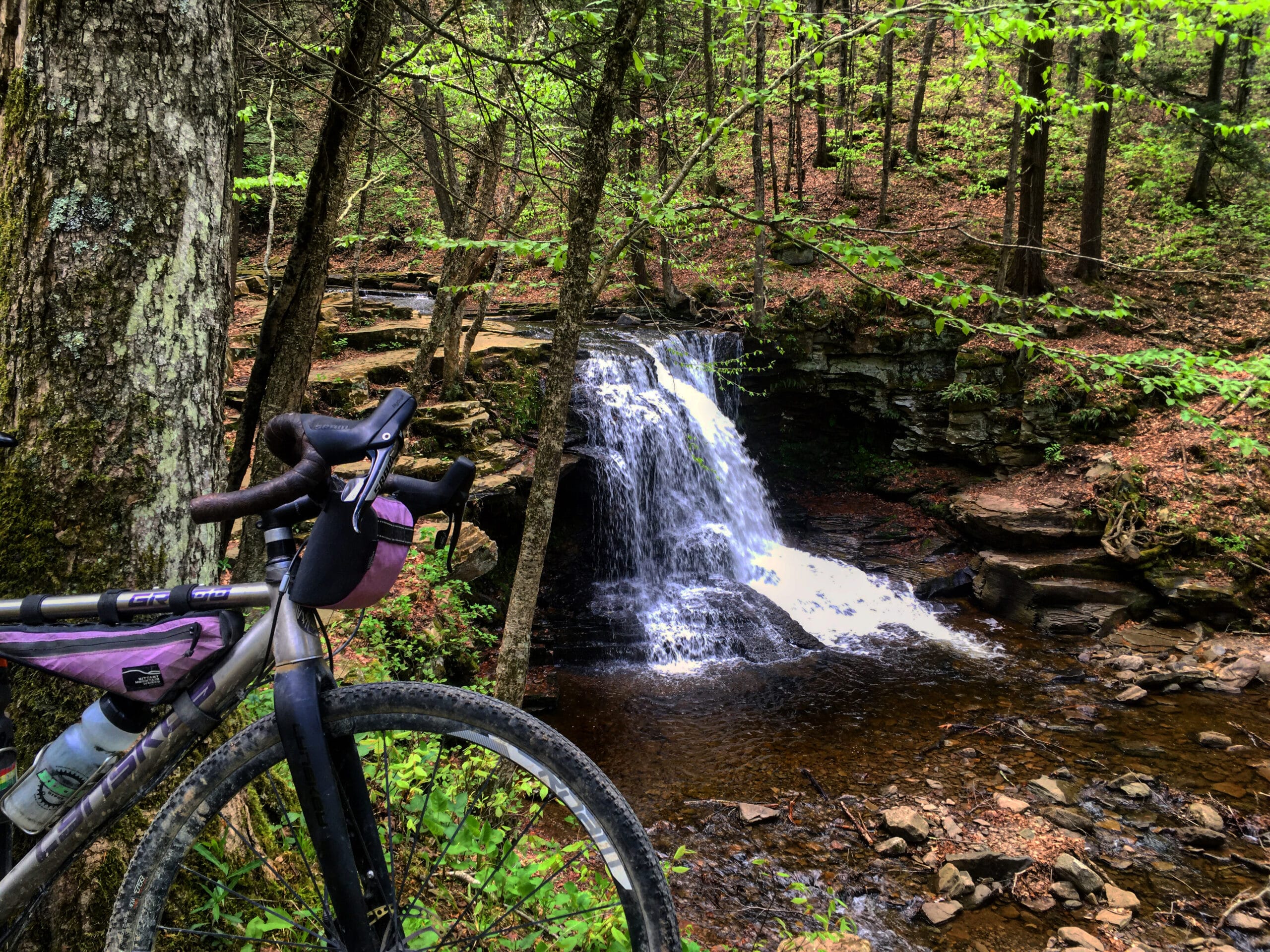
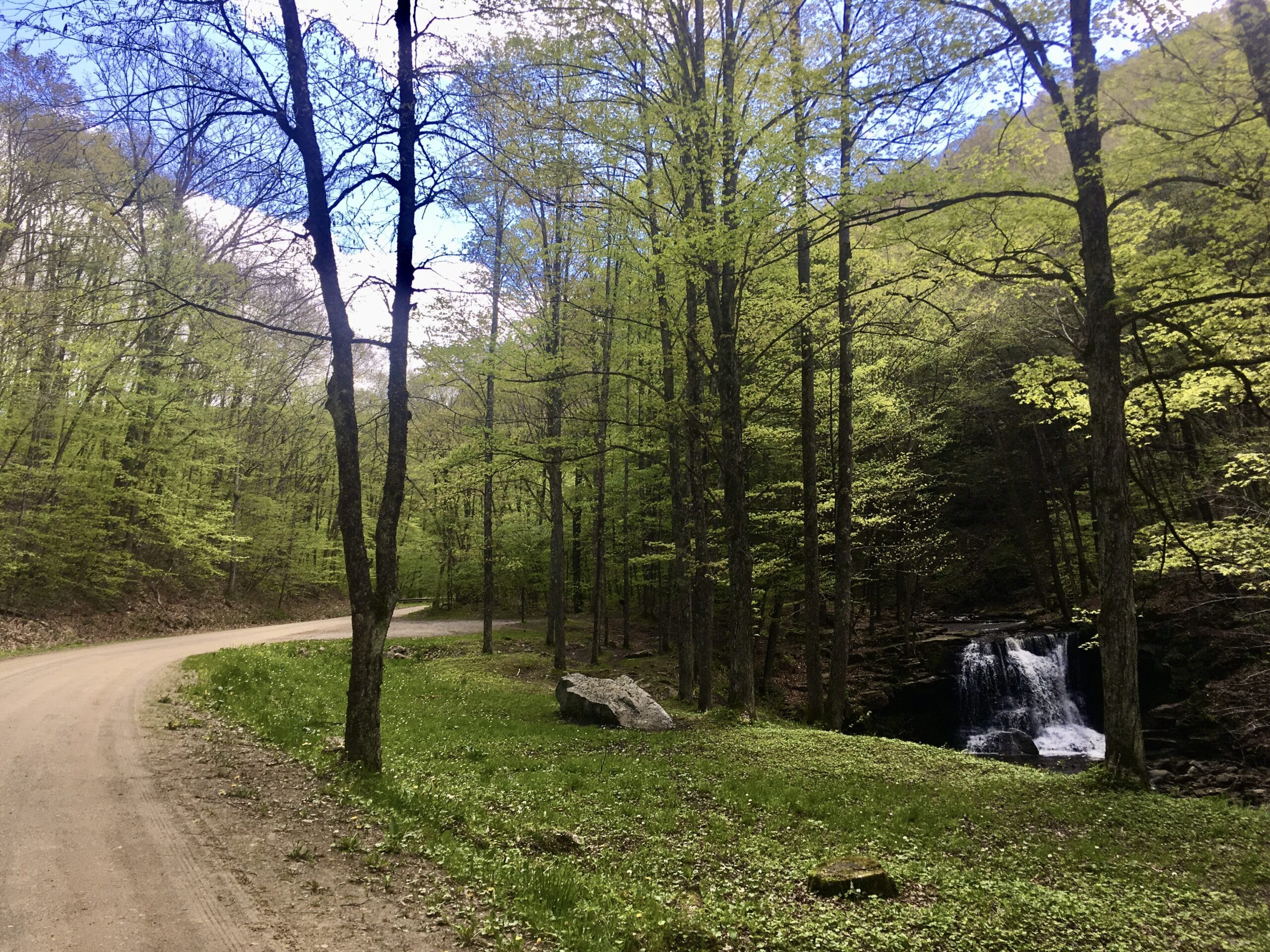
Stay right on Shanerburg Road and follow it to Worlds End Road, while you’ll cross onto the paved High Knob Road. If you’re feeling ambitious, take a detour and check out the High Knob Overlook, which adds a total of about 5 miles and 350 feet of climbing but offers spectacular views of surrounding mountains. Continue onto the gravel Dry Run Road from High Knob Road and begin a gradual and glorious 4-mile descent down the valley. Be sure to stop and admire Dry Run Falls, which, unlike its name might suggest, rarely runs dry and tends to be impressive even in the summer months. Just down the road, the Dry Run Picnic Area offers another nice spot to take a break in one of the neat stone pavilions.
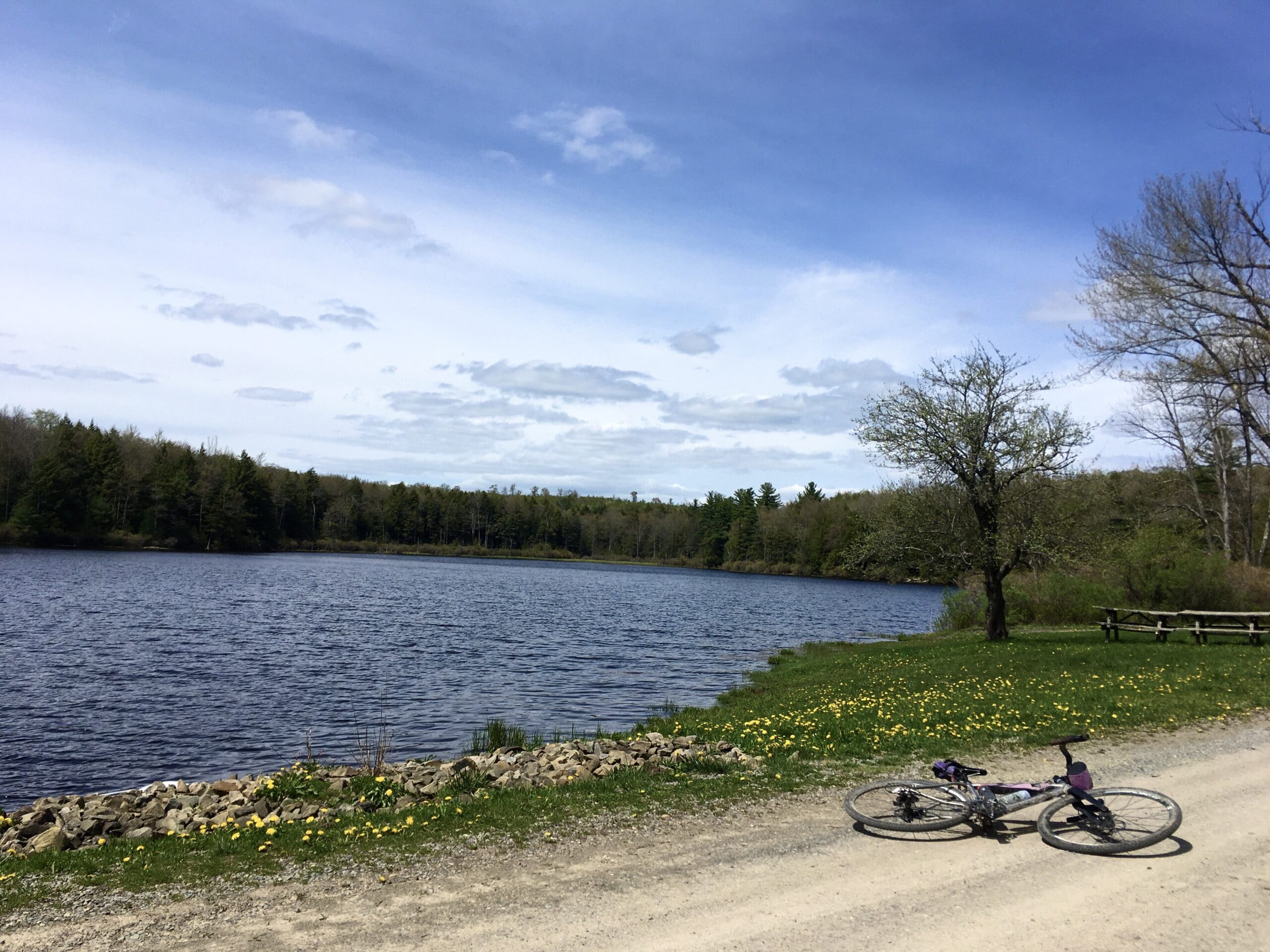
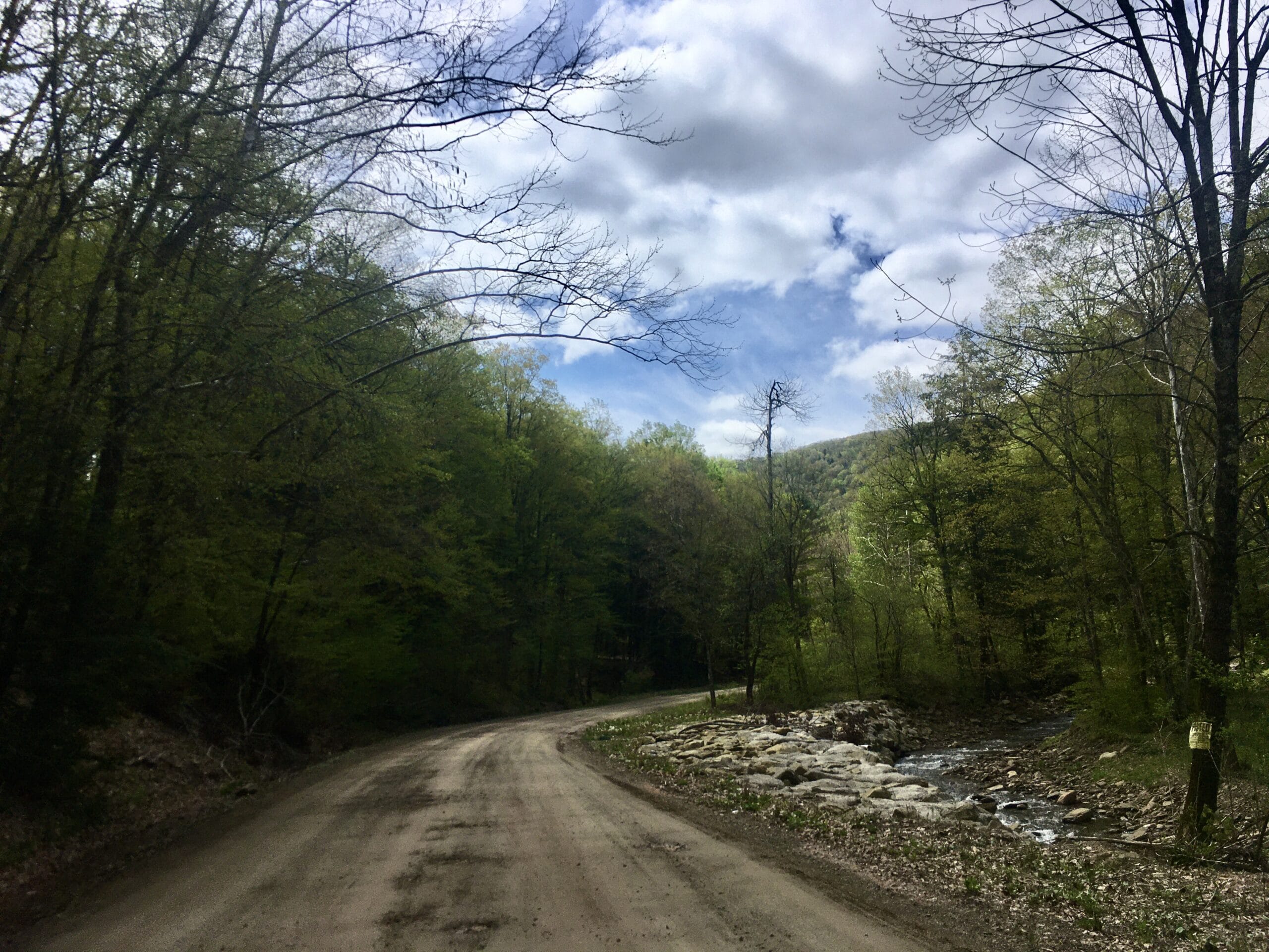
Dry Run Road will intersect with Rt. 87, where you’ll turn left and spend just under a mile on pavement before hanging a left onto Ogdonia Road, which travels through a mix of wooded private land and state forest land as it climbs up a long valley adjacent to Ogdonia Creek. At the fork about 3 miles up Ogdonia Road, stay right and keep climbing past Deer Lake. At the next intersection, which is unmarked with road signs, turn left. This is labeled Ticklish Rock Road on the Purple Lizard Map, and apparently the large knob up to the right is called Ticklish Rock. This is a fun descent down to Rock Run Road (a different one than earlier in the ride — there are a few in this area). At the bottom, there is a sign for Ticklish Rock Road, so you can get your photo op with this great road name.
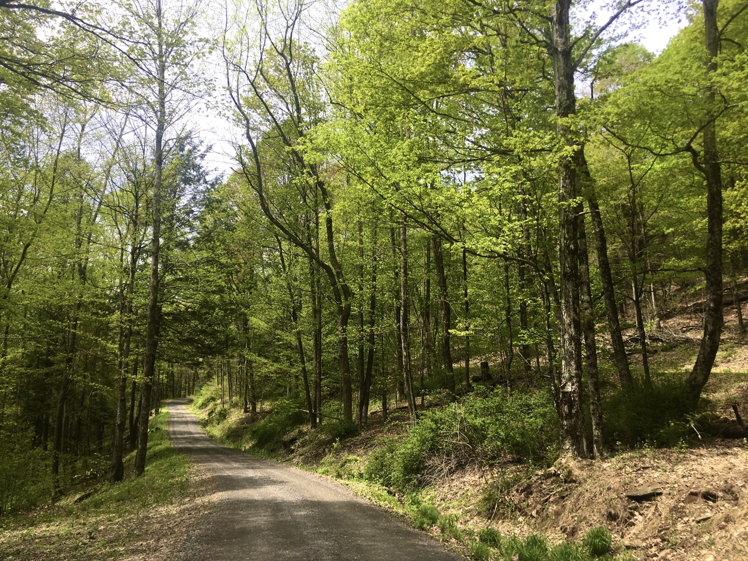
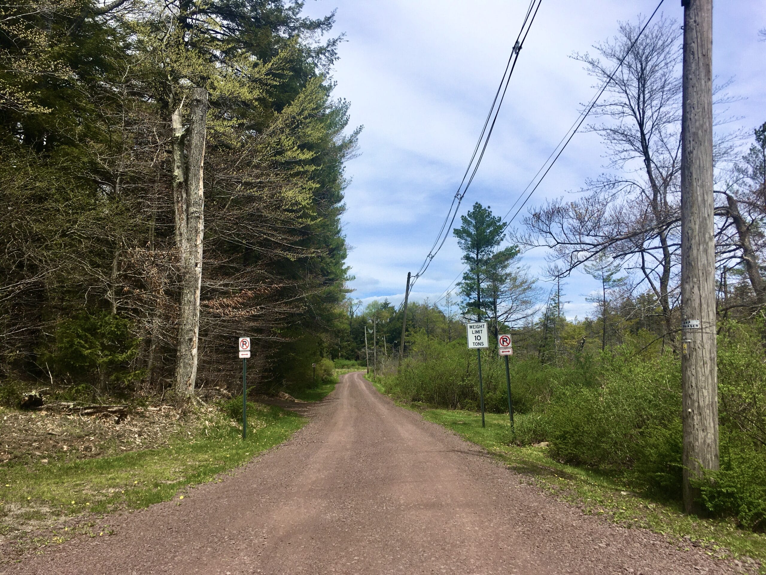
Turn left on the paved Rock Run Road, and then stay left shortly thereafter as it narrows. It almost looks like someone’s driveway, but there is a road sign. Rock Run Road here is one-lane and passes through an interesting little community of cottages along the creek. It eventually turns to gravel and gets steep (up to 15-17% for about a quarter mile). The woods in this area are privately-owned by a conservancy, but still offer a wild middle-of-nowhere feel, at least until you pop out onto the paved Edkin Hill Road. This marks the beginning of the longest paved stretch of the ride (about 6 miles).
From Edkin Hill, turn left onto Rt. 42 for about 1.5 miles before making a right onto Laporte Avenue. The Purple Lizard Map and other mapping suggests you can bypass most of the highway on Old Eagles Mere Road, which would be more desirable than the highway, but on-the-ground scouting revealed that it is now closed to through traffic with “No Trespassing” signs on the southern end. Laporte Road climbs through residential neighborhoods for just over a mile to the town of Eagles Mere, where you’ll make a right on Allegheny Avenue to cross straight over Rt. 42 to Lakewood Avenue. There is a little cafe in Eagles Mere called the Sweet Shop if you’re in need of a coffee or snack to fuel the last 10 miles.
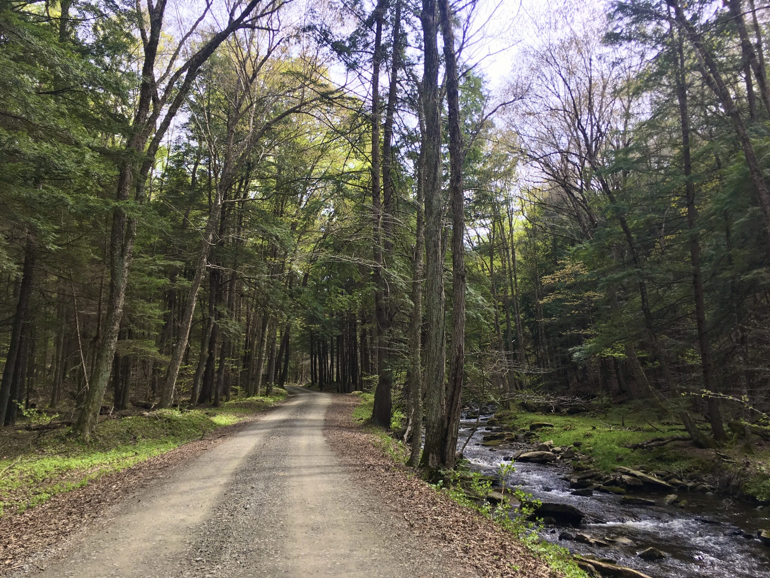
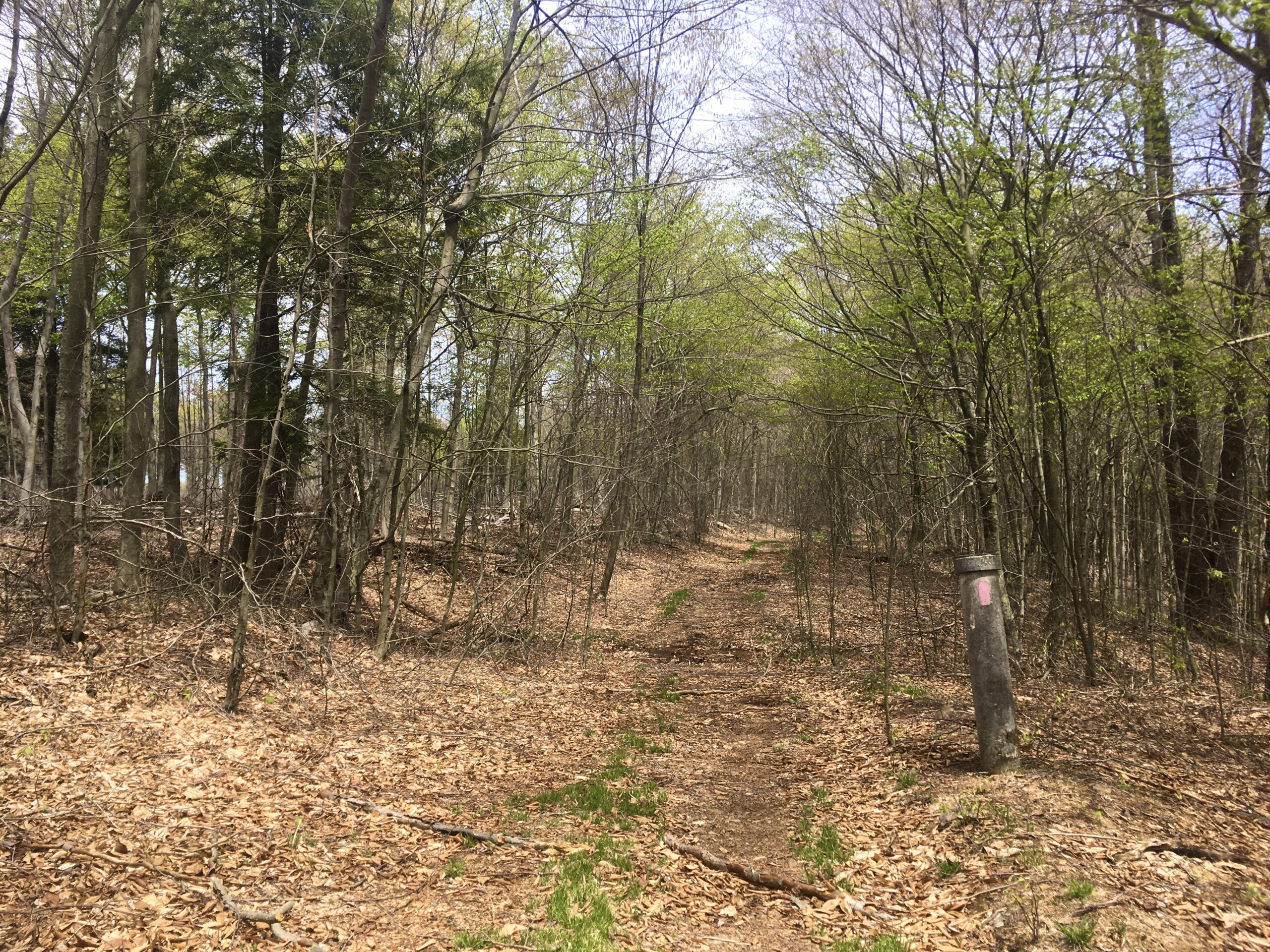
Lakewood Avenue connects to a gravel doubletrack trail that will take you back into Loyalsock State Forest. The path isn’t obviously marked; there’s just a wooden post with the label “Casino Lane” on it. If you reach the three-way intersection with Park Lane, you know you’ve gone too far. Follow the doubletrack and at the first fork, stay right and go through the gate into a dense evergreen forest. At the next fork, you’ll want to stay left. Once the landscape opens up and you see a little pond and small building to the left, stay right on the Bridle Trail. This is a 25-mile equestrian and multi-use trail that uses a combination of old logging roads and state forest roads. It is marked with purple blazes and has some rocky, rooty and wet sections. After about a mile and a half, it’ll pop back out on Shanerburg Road. Turn left and know that it’s all downhill to the finish! After about a mile, make a right on the familiar Mineral Spring Road, pass the waterfall again, and keep descending through a beautiful, rugged, rocky gorge to Worlds End.
In The Area:
In addition to the great gravel riding, Worlds End State Park and Loyalsock State Forest offer a ton of hiking opportunities (with even more waterfalls!). There are plenty of short (but steep!) hikes around the park to complement a day of riding, or head out on a longer loop on the Loyalsock Trail. The aforementioned Bridle Trail offers a different type of ride opportunity for mountain bikes or those who like to tackle a little more chunk on gravel bikes.
For a second day of gravel riding or to make a longer loop, check out the roads to the northwest of this route, near the town of Hillsgrove headed towards Masten.
The Forksville Covered Bridge, built in 1850, is just down the road from Worlds End, as is the Hillsgrove Covered Bridge. Forksville is a tiny town but it does have a general store and restaurant to grab snacks or some post-ride grub.
Picture Rocks and Hughesville are a bit larger and offer some other food options, but the best bet for finding all necessary amenities is Montoursville and Williamsport (40-45 minute drive).
If you’re headed into Worlds End from the west, a quick 3-mile-round-trip hike stop at Jacoby Falls is worth the trip for the 29-foot waterfall.
Where to Stay:
Worlds End State Park has a 70-site campground with hot showers, flush toilets and electric hookups. There are also rustic cabins that each have their own kitchen but shared bathrooms.
There are a lot of state forest motorized campsites along the route or nearby, especially on Loyalsock Road and Shanerburg Road. These are free to rent, but must be reserved ahead of time by contacting the state forest district office.
There are also plenty of Airbnbs in the area, especially in Eagles Mere.
Get the Map:
We recommend you grab a Purple Lizard Map of Loyalsock State Forest before heading out there. Not only are paper maps a good backup for navigation or course alterations, the Lizard Map is a comprehensive resource for outdoor adventures in the area.
Don’t forget to tag us @pecpubliclandsride with your photos!
Route: