There are two ways to participate in the 2021 Public Lands Ride. We are excited to promote both an in-person event returning to Black Moshannon State Park on October 2, 2021, and the release of six new routes in different state forests to be ridden anytime. Learn more here.
Route Overview:
The South Mountain (aka “Southy”) region of Michaux below Rt. 30 is a lesser-known section of the popular state forest but not for lack of goods. Don’t let the lower mileage of this route compared with other Public Lands Ride routes fool you — part of the ride that isn’t climbing or descending (over 5,000 feet worth over 45 miles), and a couple rugged sections of trail add a bit of flavor. Make sure you have plenty of sealant in your tires and tools to fix a flat. There is a reliable water source 15 and 35 miles in though, so it’s a decent choice for a hot day.
Route Description:
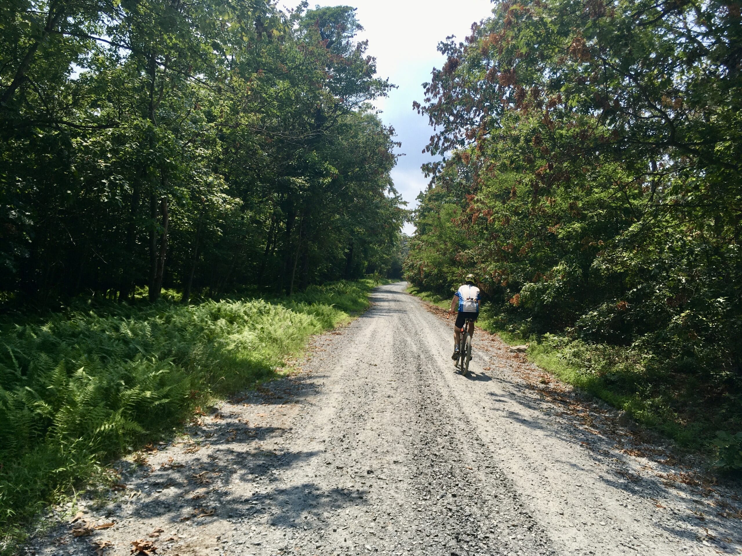
The route begins and ends at Caledonia State Park, just off Rt. 30 near Fayetteville, PA. The easiest place to park is at the day-use parking lot behind the park office, next to a cool rhododendron-bordered stream lined with picnic tables for post-ride relaxing. The route leaves the parking lot by making a right onto Pine Grove Rd., then crossing Rt. 30 (there’s a stoplight) onto Rt. 233 briefly. Bear left onto Golf Course Rd. almost immediately, and then stay right at the Y-intersection on New Baltimore Rd. You’ll begin to gradually climb past a number of cabins as the road narrows, eventually ending at a gate where a doubletrack trail picks up. Pass the gate and keep rolling onto a trail, enjoying a whoop-inducing quick descent down to District Rd.
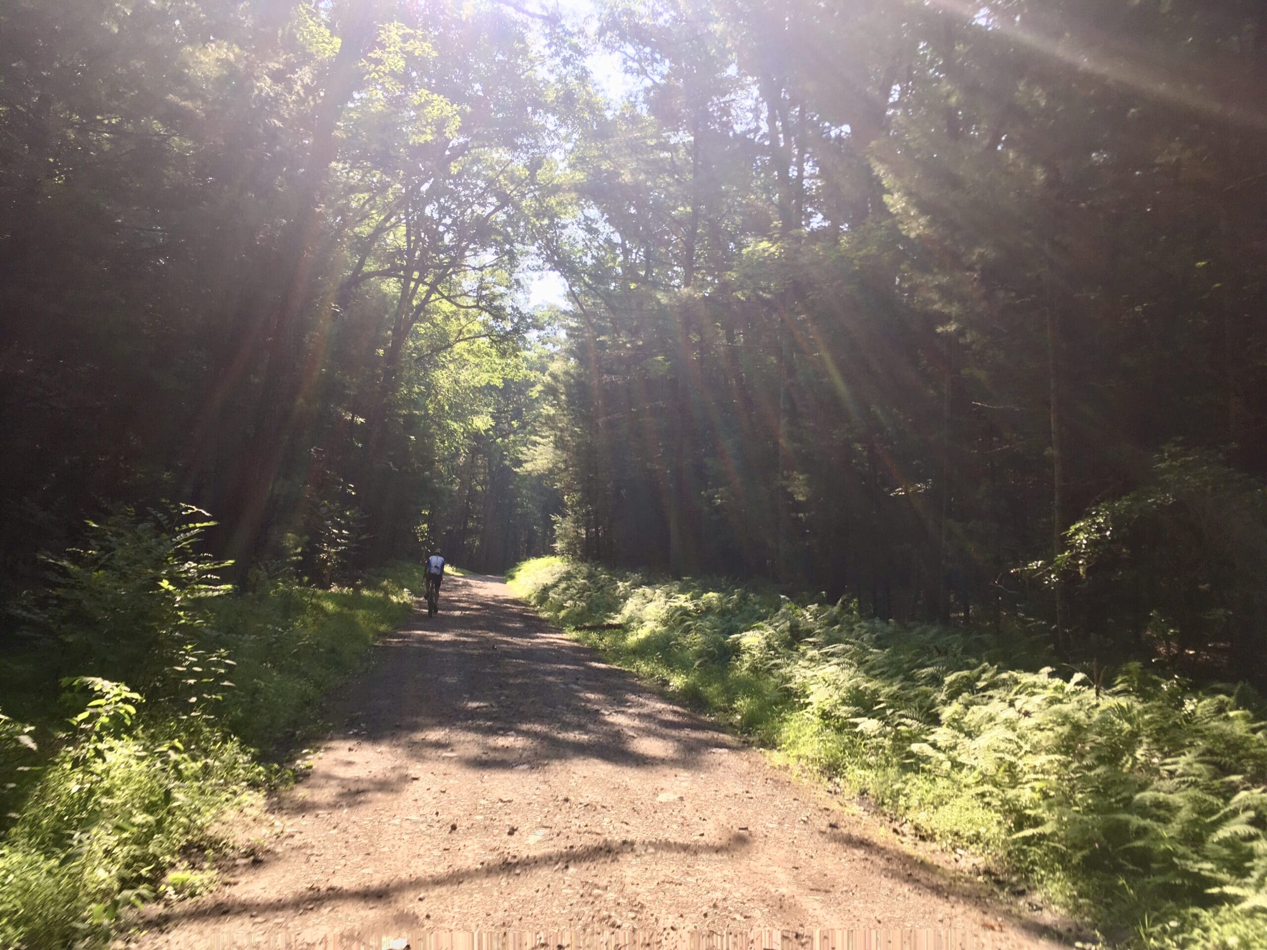
The road climbs and then descends down to Caledonia Lake, where the route makes a sharp left to stay on District Rd. Another gradual climb takes you to the intersection with Teaberry Rd., but the route continues straight through the gate onto Hogan House Rd., another section of doubletrack — this one more gravelly than grassy. Climb some more, stay right at the next intersection, and you’ll be rewarded with a section of flowy, gradual downhill along Green Ridge Trail. The snowmobile trail dumps out onto Cold Spring Rd., where you have the option of following the pavement for just under a mile or hopping on an unnamed snowmobile trail, which starts out smooth but gradually grows more chunky as it nears High Rock Rd. Choose the adventure that suits you best.
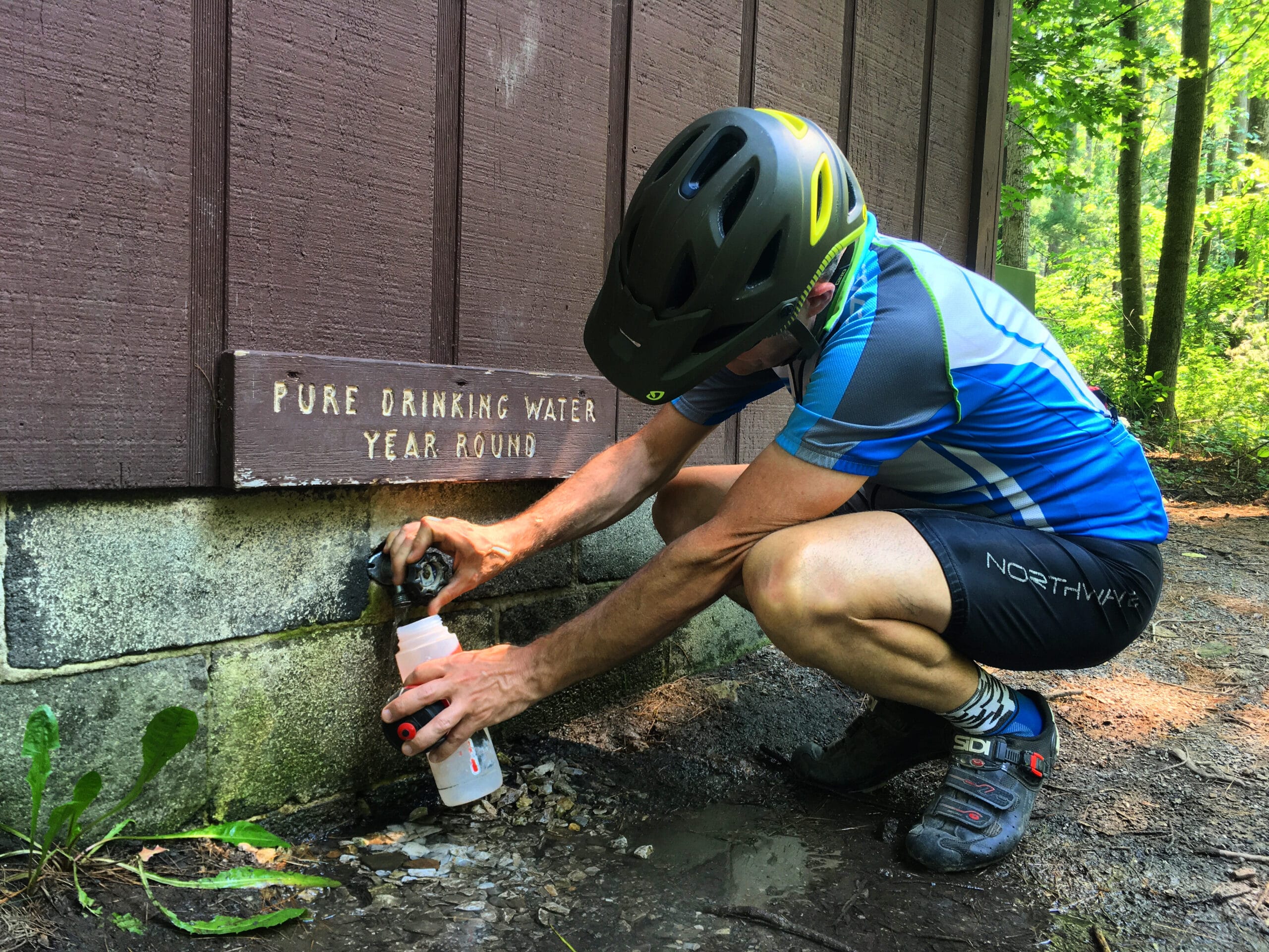
High Rock Rd. descends, climbs and descends again. The soft shale surface sucks energy on the climby sections, but the four-mile descent down to Old Forge Picnic Area is a well-earned reward. Old Forge features a springhouse at the back of the gravel parking lot (all the way on the left as you’re passing through the picnic area) with a spigot on the side. Fill up your water here to prepare for the next couple big climbs and slow-going chunky sections to come.
Make a left on the pavement out of Old Forge, and cruise for about a mile down to Wirt Rd. There isn’t a road sign — just look out for the first gravel road to the right after leaving the picnic area. In fact, many of the roads aren’t marked, so make sure you have the route downloaded on your GPS and keep your bearings to make Purple Lizard Map consultations easier.
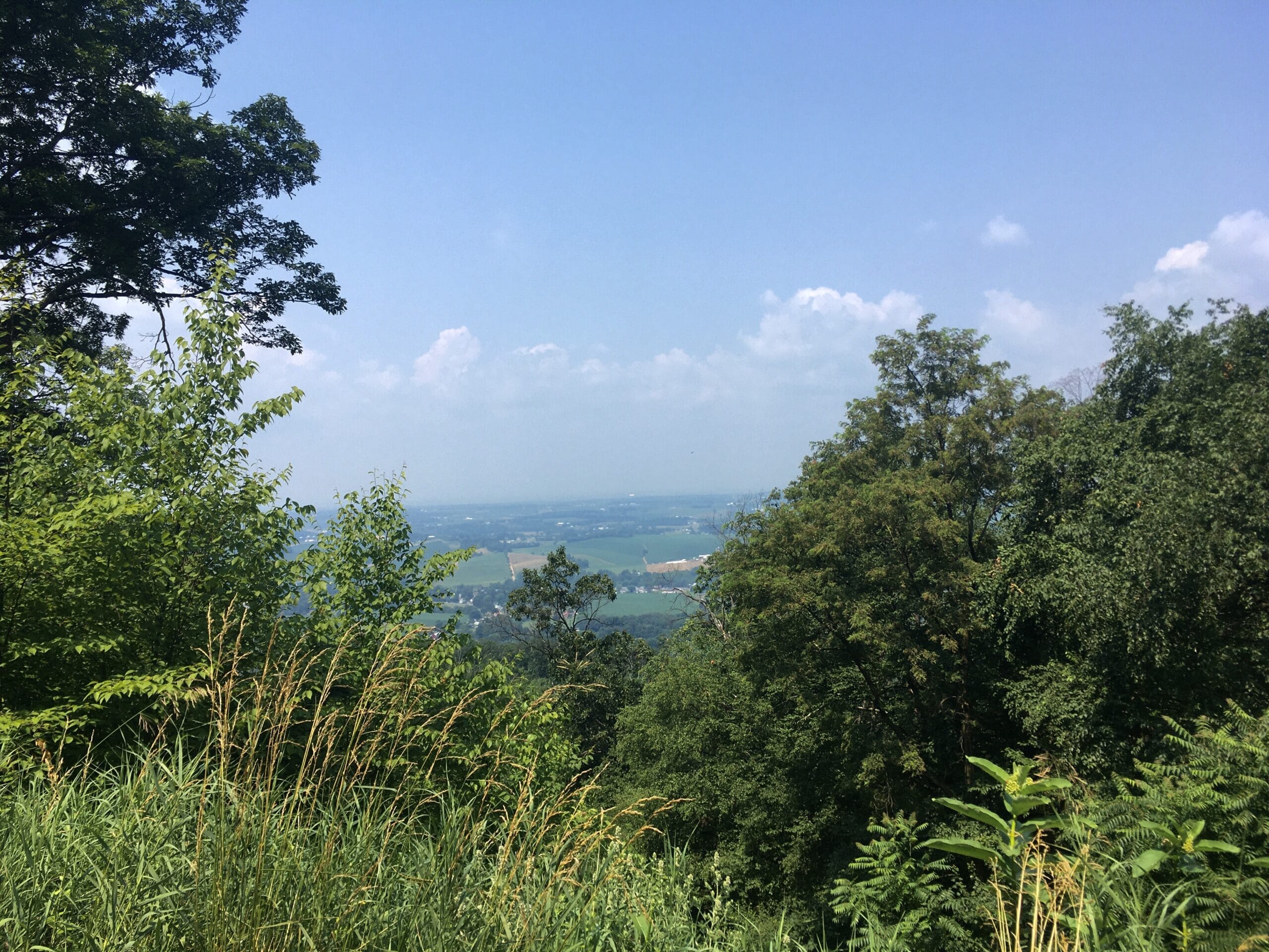
Wirt Rd. climbs (of course) about 800 feet over 3.5 miles, keeping a fairly consistent 4-5% grade before leveling out ahead of a final kicker at the top. It follows the valley of Vineyard Run as it winds to the top of Sandy Ridge. At the 4-way intersection at the top, stay left on Oak Rd., which rolls for a while around Quincy Mountain before descending to Mont Alto State Park. There are a few sections where large, flat rocks were used to mitigate erosion issues on this gravel road, so stay alert to avoid a surprising change of surface. There is a vista about halfway down the descent that offers farmland views towards the west and the ridges of Tuscarora State Forest in the distance.
At Rt. 233, turn right and pass through the tiny Mont Alto State Park. Just after the bridge over the West Branch of Antietam Creek, turn left onto an unmarked gravel road. Shortly thereafter, stay right on Bricker Clearing Trail. If you reach the gate at the back of the Penn State Mont Alto campus, you’ve gone too far.
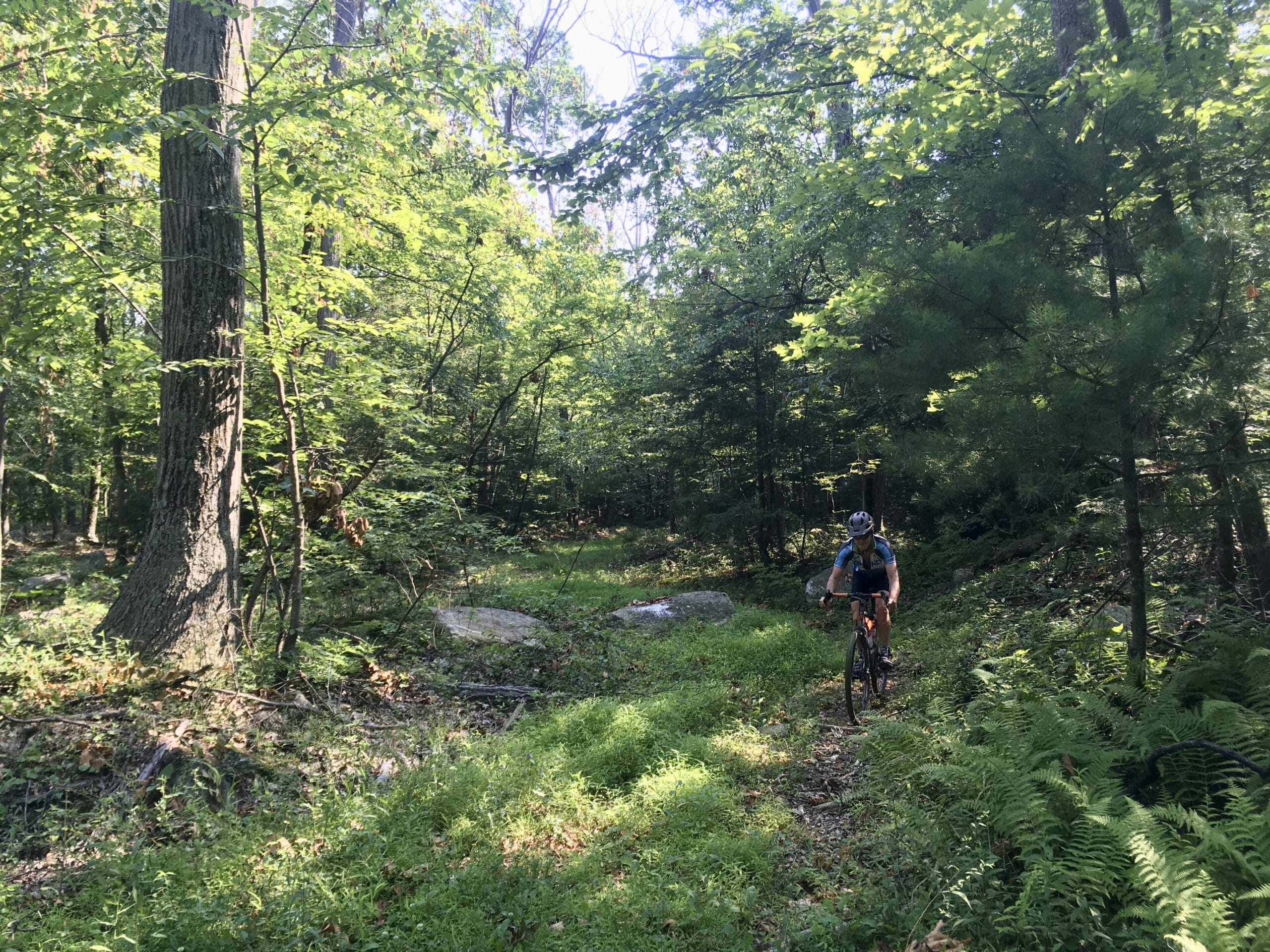
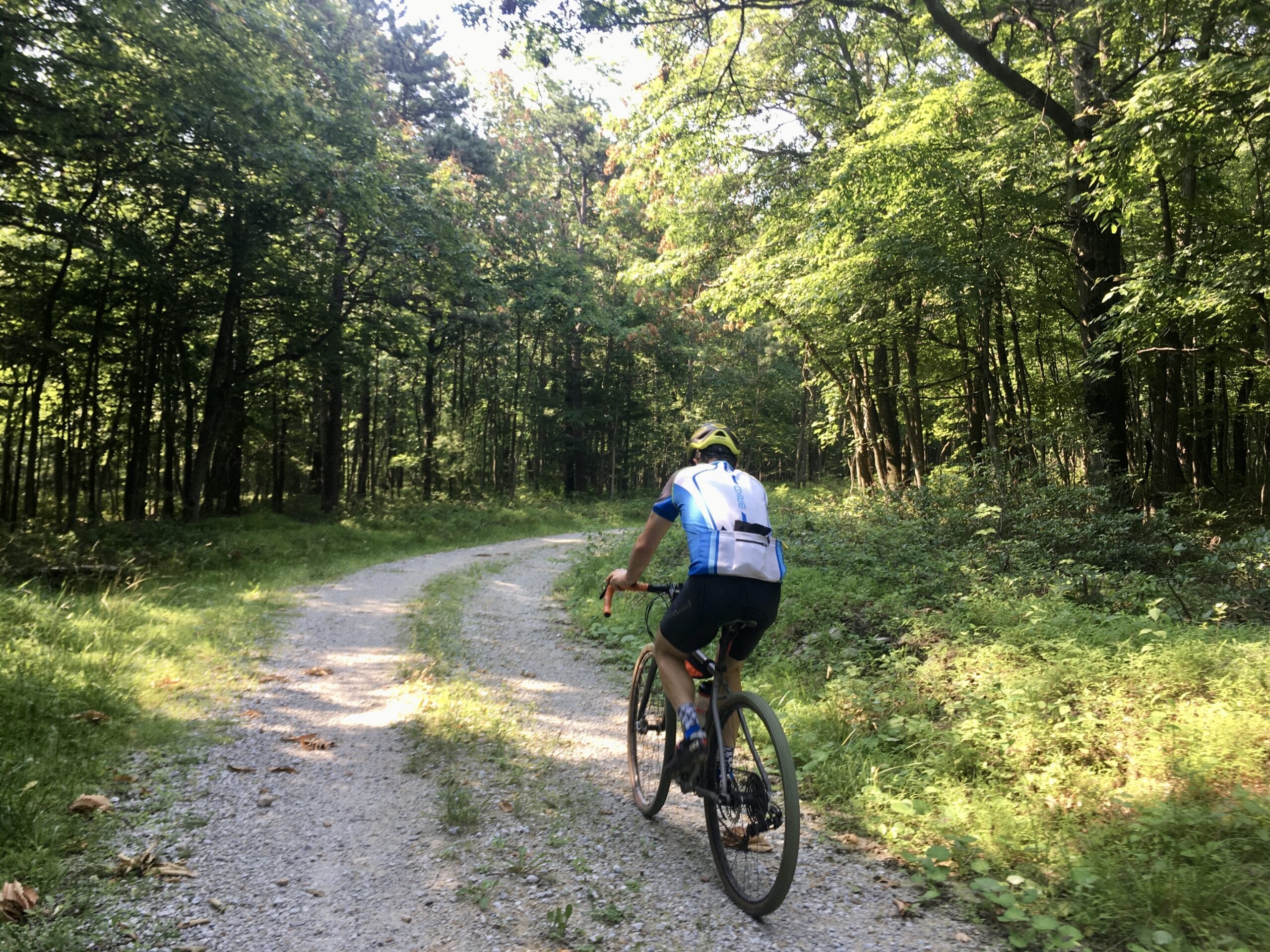
Bricker Clearing Trail starts off as doubletrack and gradually narrows into grassy singletrack. To the right, the Meeting of the Pines Natural Area features five different species of pines all growing together, the only place in Pennsylvania where this occurs. A little under a mile into Bricker Clearing, the trail splits and there is one option to bear right into the woods and another to stay straight though some fields on the backside of a neighborhood. The two trails eventually merge back together, so take your pick. The trail through the woods is a bit more rocky while the other is more smooth and grassy. They travel separately but parallel for about a mile before the lower, grassy trail turns right and meets back up with the official Bricker Clearing Trail. From the intersection, the trail continues for just under a mile to White Rock Rd. It gets progressively more rocky and the last few hundred feet are fairly challenging, but just know that it doesn’t last very long. There’s a steep pitch up to meet the road, where the route turns right and continues to climb towards Kettlesprings Rd. Turn right and keep climbing. Partway down the subsequent descent, the gravel meets up with Rt. 233. Stay right and keep descending, but keep your eyes peeled for an unmarked left-hand turn at the bottom (Staley Rd.).
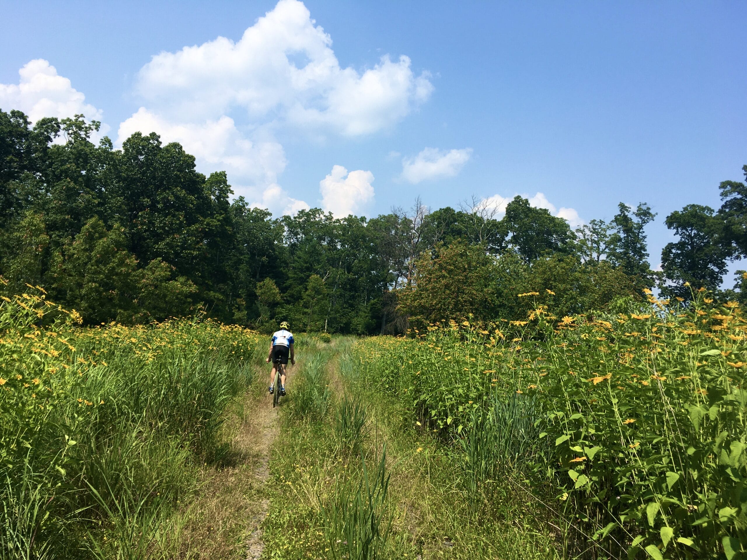
As you start climbing, Red Run will be off to the left of the road, and it’s a great opportunity to stop and dunk your hands, helmet and whatever else to cool off before another long climb. This climb is a consistent 5-6% for about 2 miles, but you gain an extra mile of descent for all that hard work. The descent back to Old Forge is twisty and fast, sure to make you smile! At Old Forge, fill up on water again if needed and this time, turn right on the pavement and go about a half mile to Swift Run Rd., the last big climb of the day. It’s also the longest, stretching almost 3 miles and gaining over 1000 feet of elevation. Stay straight at the top onto Snowy Mountain Rd. At the bottom of the descent, turn right onto Swamp Rd. and then make a quick left on the paved South Mountain Rd., then another quick right onto Coral Ridge Rd. At this point, there’s a short stretch that leaves the state forest and passes through a residential area. When Coral Ridge Rd. makes a hard right turn, stay left/straight. The road will soon turn to gravel and you’ll re-enter the state forest. Then it’ll turn into gated doubletrack, which descends through fields of wildflowers on a grassy and fairly smooth surface — not at all as chunky as Bricker Clearing Trail earlier.
The doubletrack pops out back on Forest Rd., where the route uses Raccoon Run Trail to stay off Rt. 233 for a short stretch. This singletrack has some roots and rocks but is navigable on a gravel bike. The trail is less than half a mile, but if you’ve had enough of the chunk, you can always head right on Forest Rd. and take Rt. 233 to Corl’s Rd. instead. The trail will pop out on the gravel Corl’s Rd., where you’ll stay right and soon be back in familiar territory as Corl’s Rd. intersects with New Baltimore Rd. Retrace your steps for the last mile back to Caledonia State Park.
In The Area:
There is a whole lot more gravel than this route touches, so if you’re game for a second day check out some of the stuff north of Rt. 30. There’s also plenty of excellent mountain biking throughout the state forest, though the trails aren’t marked very well so it’s best to go with a local or at least have a sense of humor about exploring. The Purple Lizard Map is helpful, but not comprehensive when it comes to all the singletrack.
Pine Grove Furnace State Park has a lake and beach area for those who are water-inclined, as well as additional camping options. The Appalachian Trail passes through Michaux, and there are plenty of other hiking opportunities as well.
In Fayetteville, BonFire Burgers and Ice Cream hits the spot after a long ride. Another nearby ice cream option is Windy Knoll.
The Historic Round Barn and Farm Market is a fun visit and great spot to snag some fresh fruits and veggies. Across the street, check out Thirsty Farmer Brew Works. Mister Ed’s Elephant Museum and Candy Store along Rt. 30 just east of Caledonia is another local attraction.
The largest big town in the area is Chambersburg, which offers a lot of food options as well as Roy Pitz Brewing Company and GearHouse Brewing.
Where to Stay:
Caledonia State Park has two different campgrounds with a total of 183 sites. There are both non-electric and electric/full hookup options, and both campgrounds have flush toilets, showers, drinking water and a sanitary dump station. One of the campgrounds is fully pet-friendly. The state park aso rents out the Caledonia Lodge, a 3-bedroom house that is available year round and sleeps up to 10 people.
There are also a lot of primitive forestry campsites in the area and along the ride route. They are free but reservations are required. Permits can be obtained by calling the Michaux State Forest office. Find a site here.
The Hermitage Cabin, operated by the Potomac Appalachian Trail Club, is along the route on Swift Run Rd. and is available to rent.
Get the Map:
We recommend you grab a Purple Lizard Maps Michaux Map before heading out there. Not only are paper maps a good backup for navigation or course alterations, the Lizard Map is a comprehensive resource for outdoor adventures in the area.
Don’t forget to tag us @pecpubliclandsride with your photos!
Route: