There are two ways to participate in the 2021 Public Lands Ride. We are excited to promote both an in-person event returning to Black Moshannon State Park on October 2, 2021, and the release of six new routes in different state forests to be ridden anytime. Learn more here.
Overview
This route takes riders from the valleys of the First Fork and Driftwood Branches of the Sinnemahoning Creek to the top of the surrounding ridges. Climbs are long but mellow, gradually winding up valleys amidst the gentle gurgle of cool creeks. The tops offer views of endless tree-covered layers of mountains and rolling terrain.
Route Description
There are two state parks along the route — Sizerville and Sinnemahoning. Both have camping and other amenities, and either make a great starting point for this ride. Starting at Sinnemahoning puts more of the climbing on the front end of the ride, but both versions begin with a long climb and end with a long descent. For the purposes of the RideWithGPS map and this description, we started the route at Sizerville State Park.
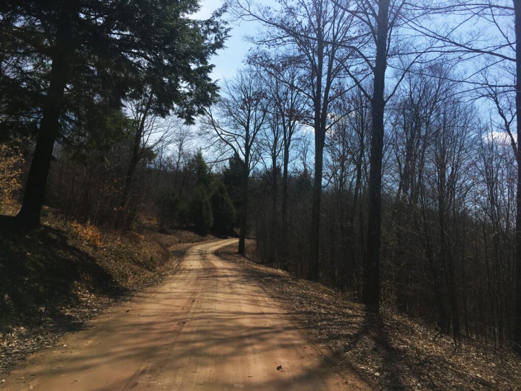
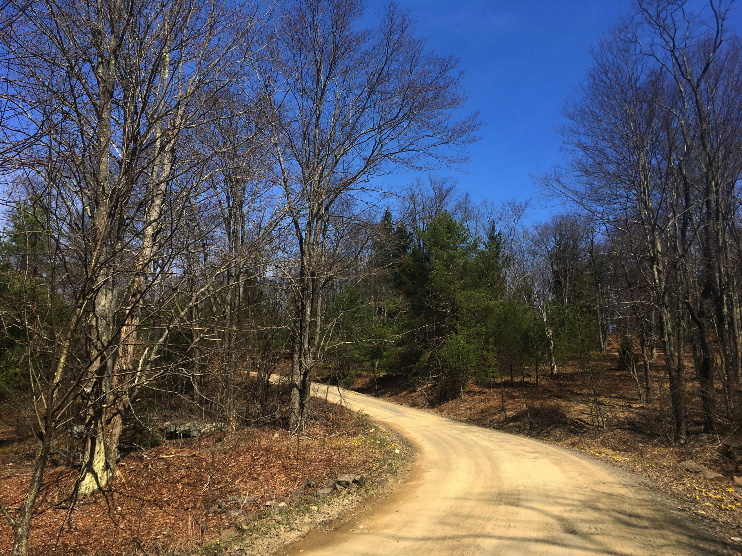
From the main day-use area at Sizerville, the route stays on East Cowley Run Road past the maintenance buildings, where it turns from paved to a mix of gravel and packed dirt and begins to gradually climb. There are a couple sections that pitch upward, especially near the intersection with Ridge Road, but for much of the first five miles, the ascent is barely discernible. At the intersection with Ridge Road, turn right and head southward, steadily climbing for another mile or so. The terrain then turns rolling for the next five miles before beginning a descent.
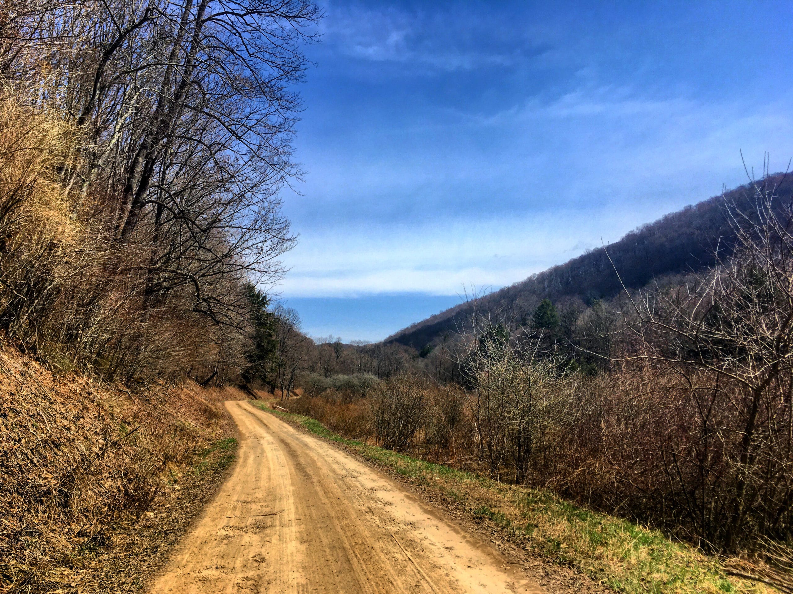
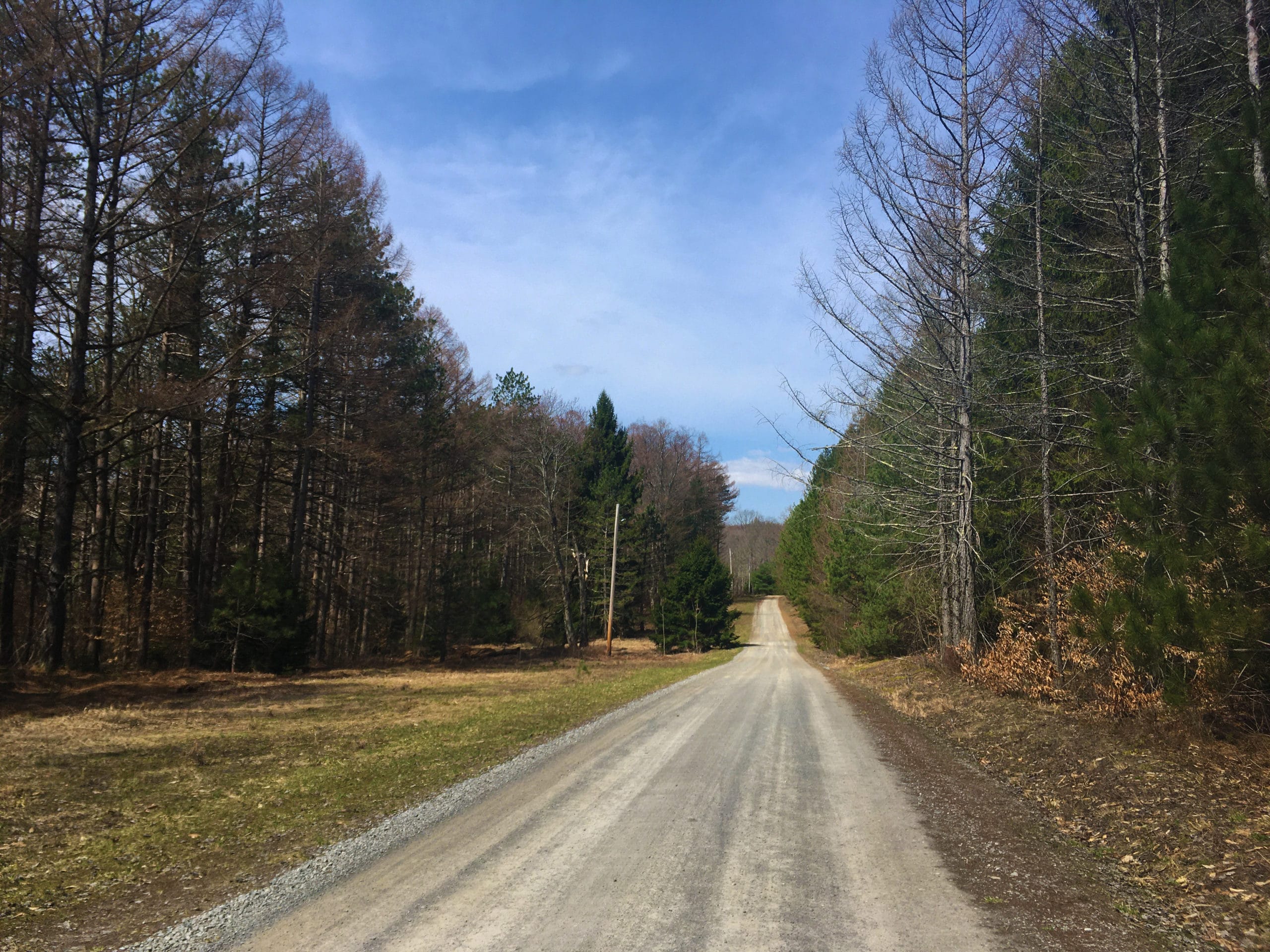
After passing Crooked Run Road on the right, you’ll be on a section of the route that overlaps with a later portion, so you’ll get to ride about five miles in both directions. The scenery is a mix of deciduous forests, evergreens and scrub. Ridge Road forms the border between Elk State Forest and Susquehannock State Forest — the western side of the road is Elk while the eastern side is Susquehannock. In this region, multiple state forests blend together to create a huge swath of public lands.
At a four-way intersection just past an open area, make a left on Bailey Run Road. You’ll pass a small square of private land and a few houses, then quickly enter state forest again for a while before popping out into a small village at the bottom just before the intersection with Rt. 872.
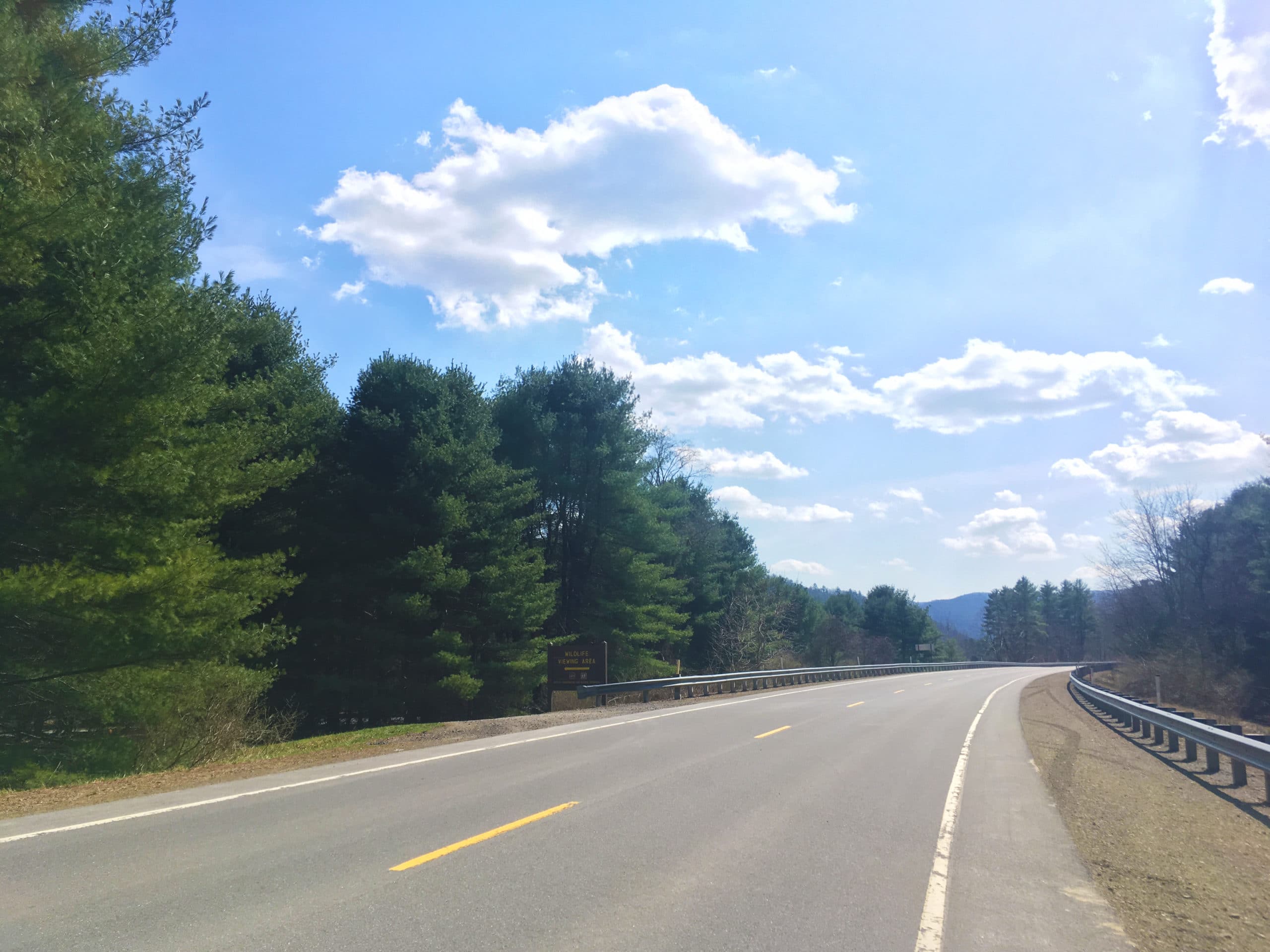
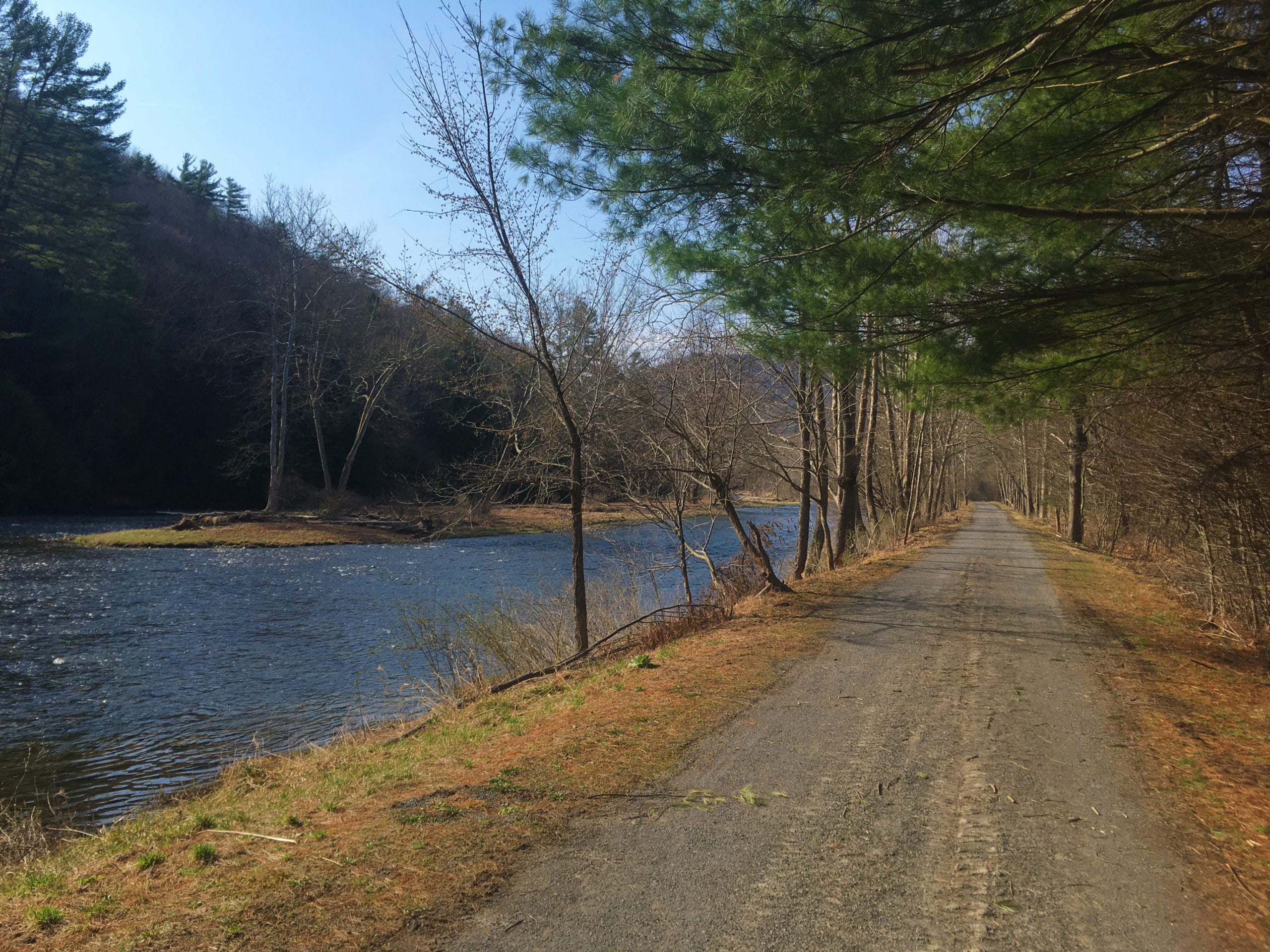
You’ll need to be on this paved roadway for about two miles, but it’s flat and fast and there is a decent shoulder. The First Fork of Sinnemahoning Creek lazily flows along on your left, lined with bright-white-barked sycamores. Turn left when you see a sign for Sinnemahoning State Park, and from a gravel parking lot you can pick up the Low Lands Trail, a multi-use path through the park along the river. Look for the universal orange snowmobile trail arrows, as well as wooden signs calling out the trail.
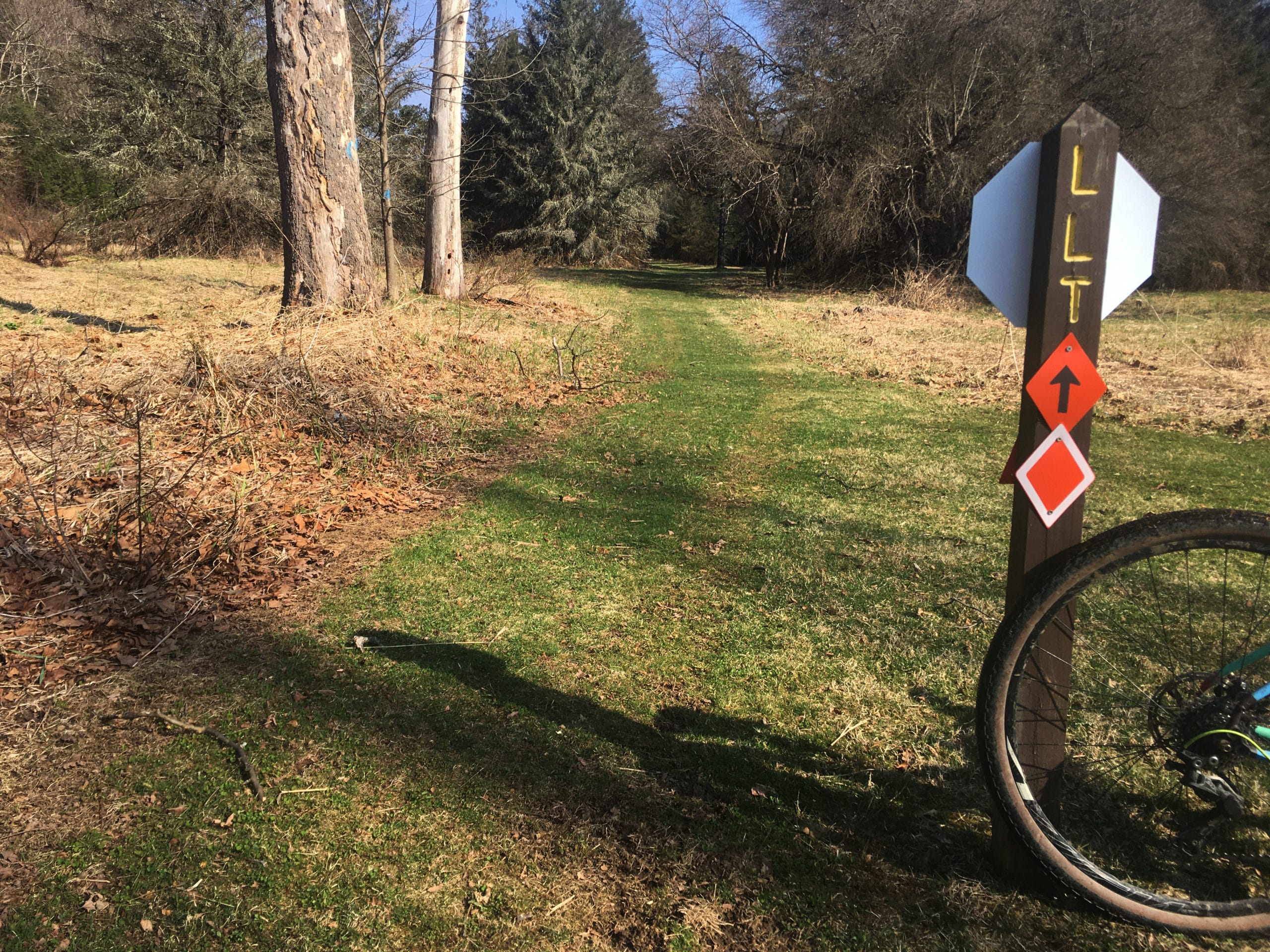
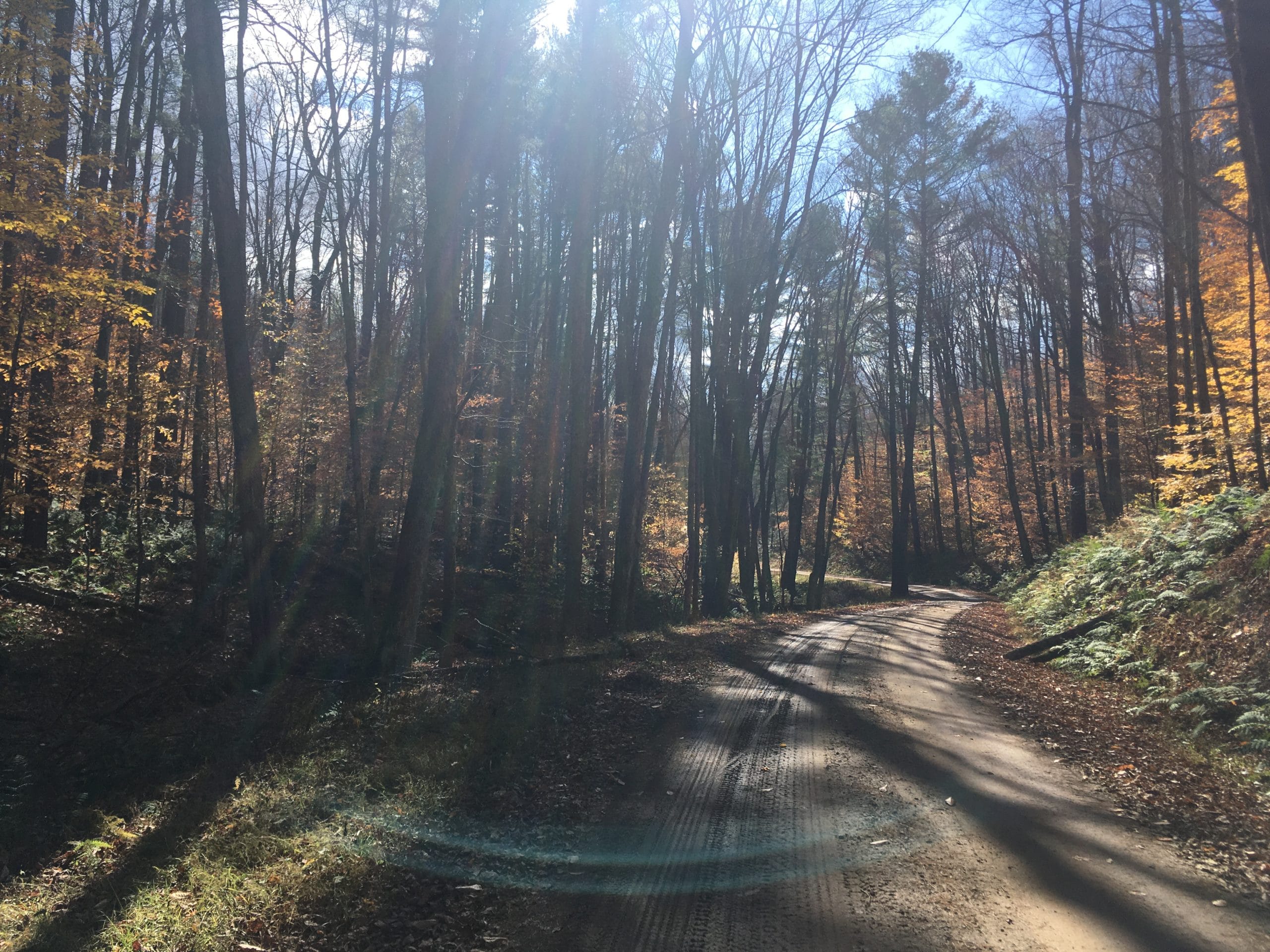
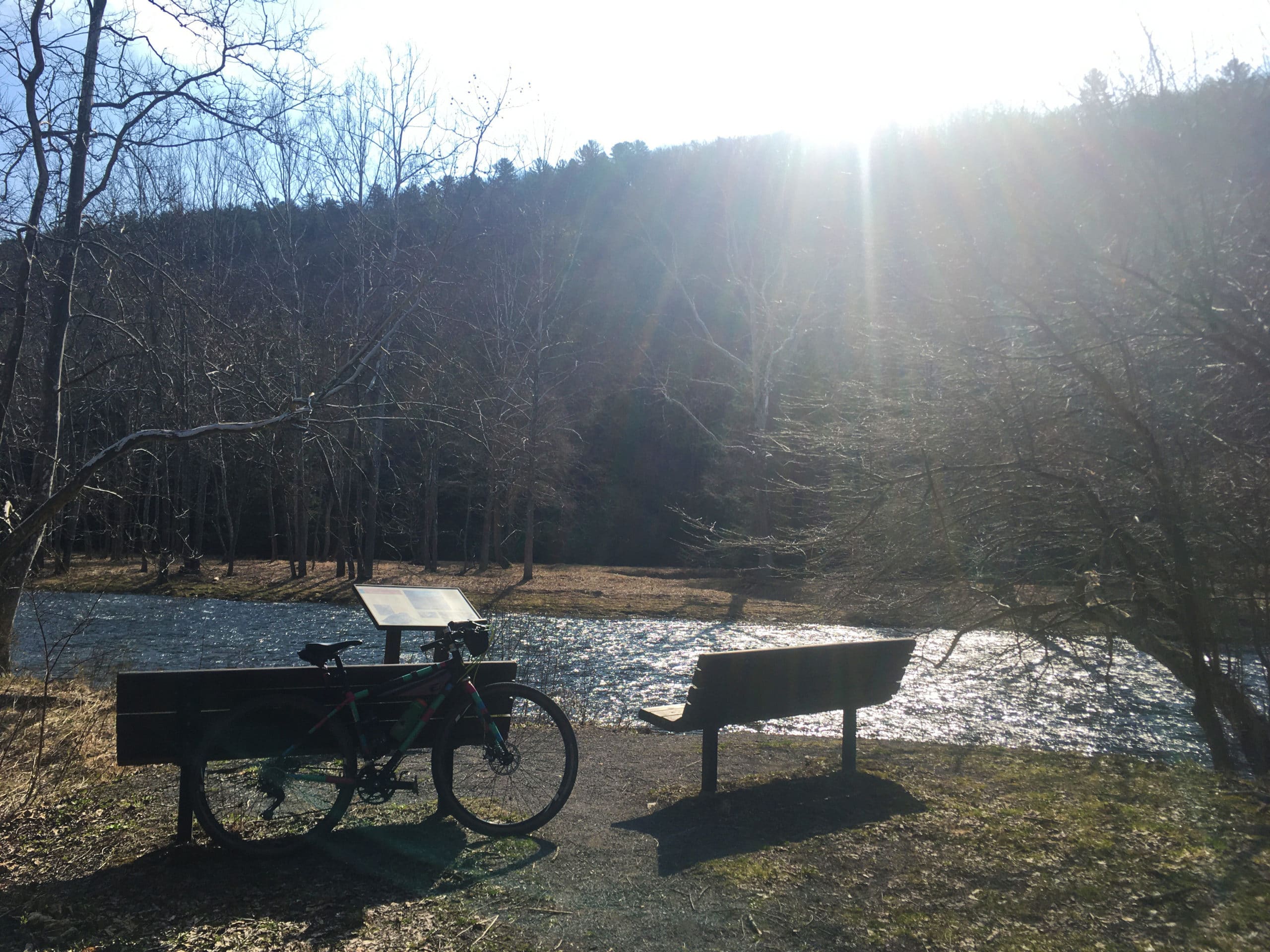
The Low Lands Trail surface is a mix of crushed stone and grass, and passes several wildlife viewing areas, benches along the river, and interpretive signage that make for nice areas to take a quick break. It is flat as it parallels the river, but there is one steep climb at its end when it meets Park Drive. Turn right on the paved road, but be advised that for a short stretch you’ll be headed against the flow of traffic on this one-way, so just keep alert as cars may not expect to see a cyclist moving towards them. Another steep but relatively short climb will get you back up to Rt. 872, where you’ll make a quick right and then left onto the unmarked Brooks Run Road. Just look for the sign for Brooks Run Cabin. There is a little store on the corner where you pop out onto Rt. 872 where you can grab a drink or snack if needed.
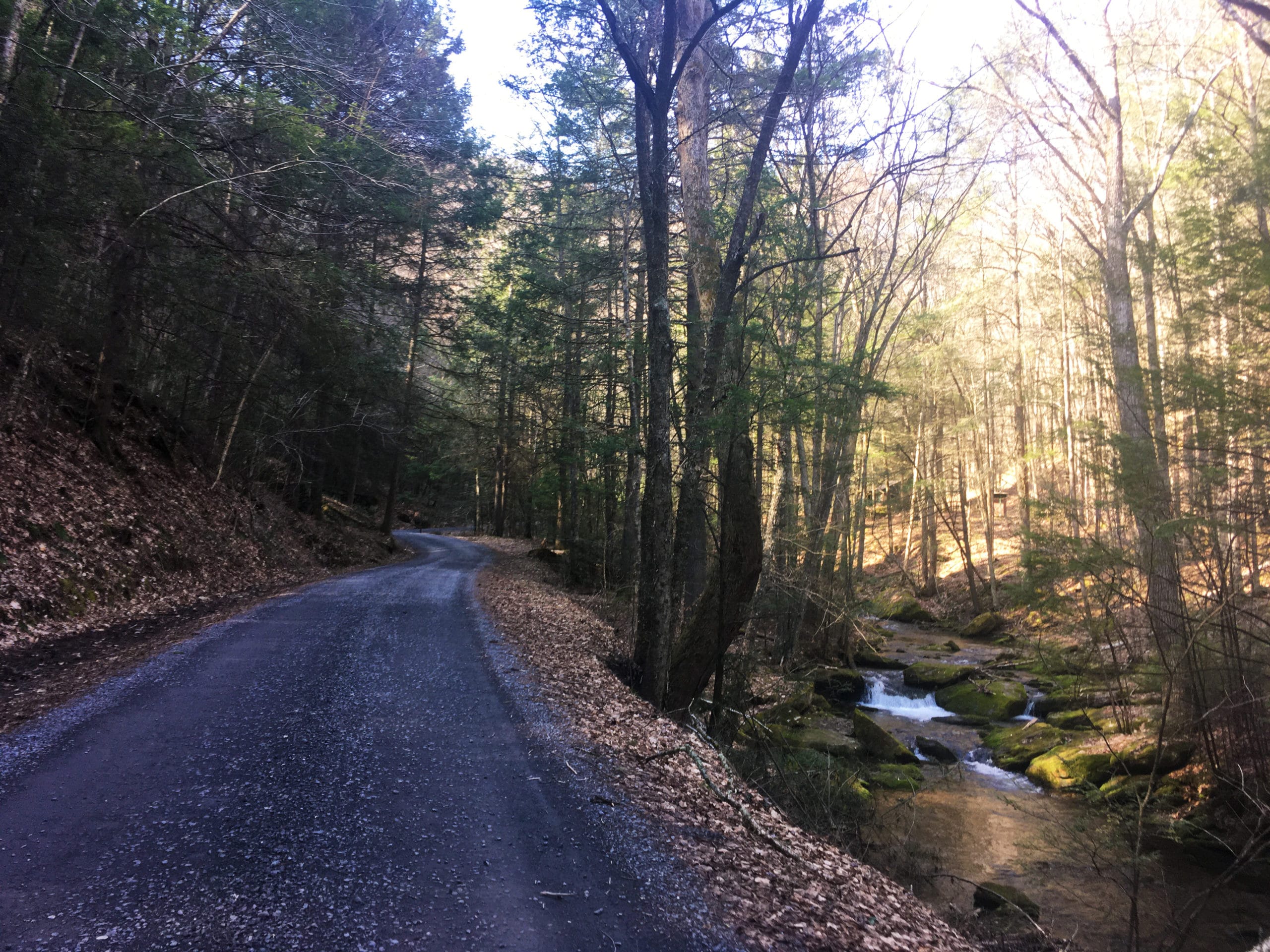
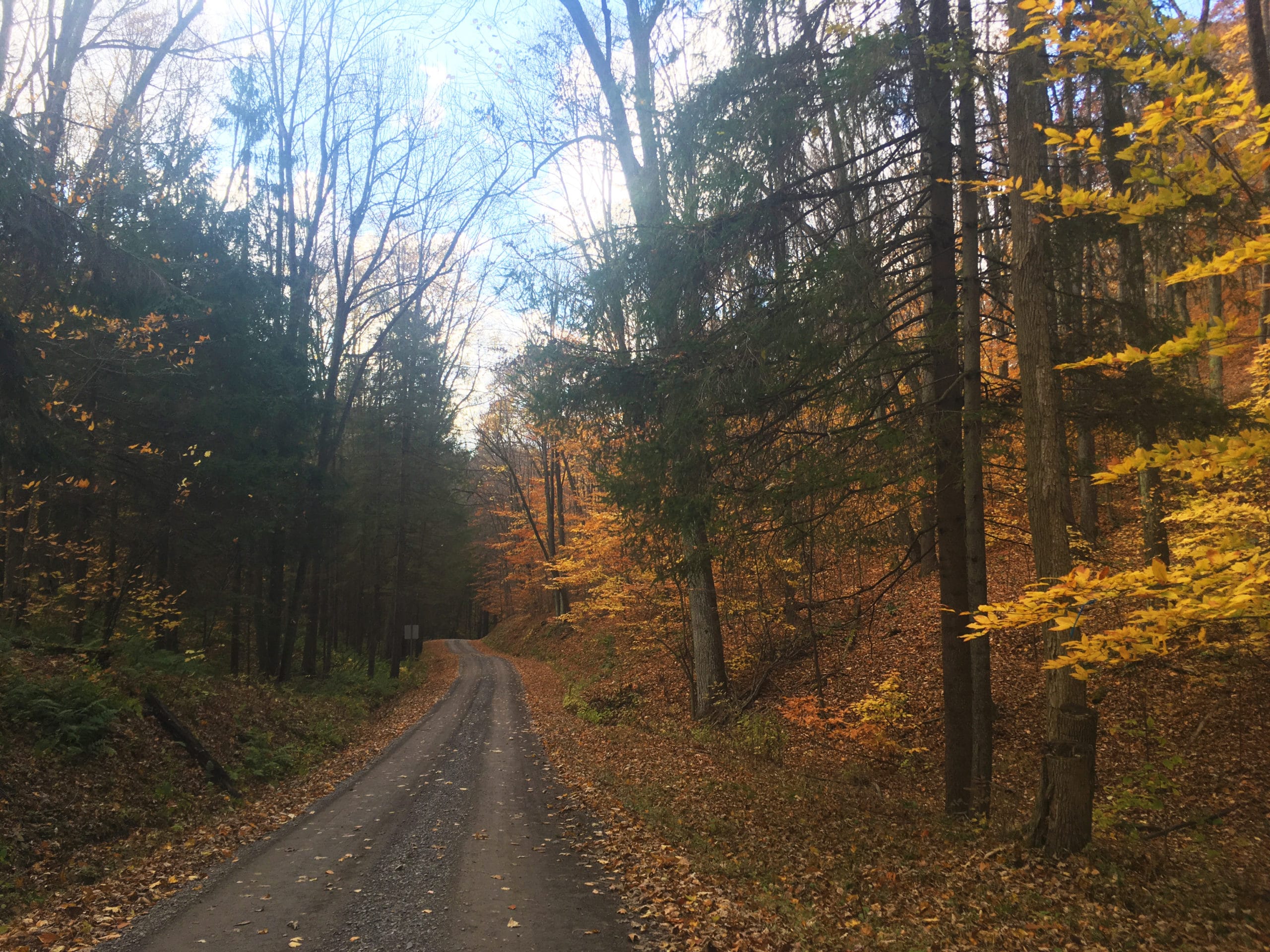
Brooks Run features little waterfalls and moss-covered rocks as it tumbles down the valley parallel to the next climb on the route. This is once again a mellow one until the top, where it steepens a little in the final mile before intersecting with Ridge Road again. There is a roadside spring near the top, if you need to fill up on water.
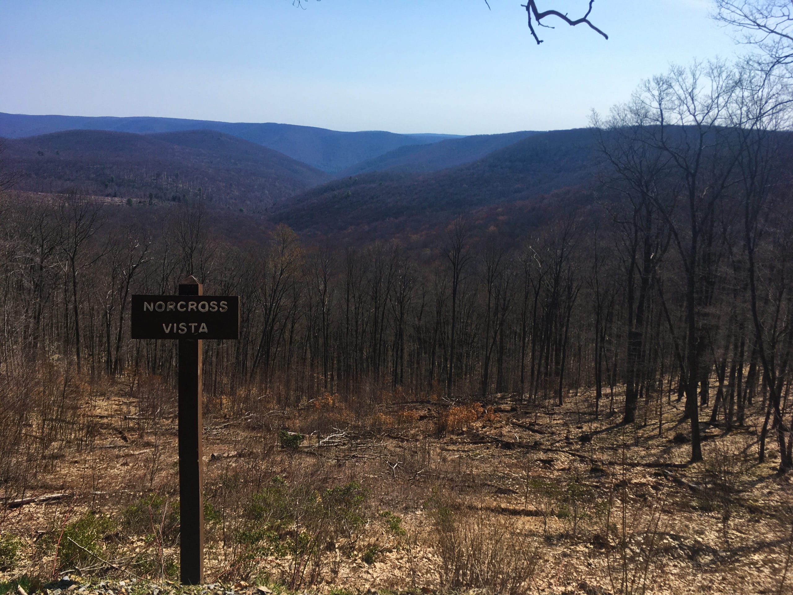
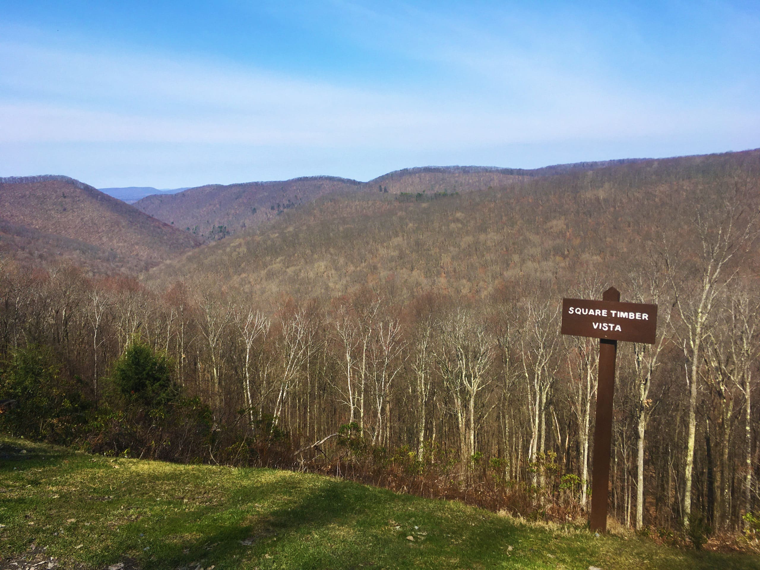
Back up top on Ridge Road, you’ll turn right and start heading north again. Brooks Run Fire Tower is a short detour — just follow the gated road on the right at the Ridge Road intersection. This portion of Ridge Road boasts plenty of vistas per mile, the ones to the west looking out onto the narrow valleys and steep ridges of Square Timber Wild Area. After about another five miles on top of the ridge, it’s time to drop down once again, this time on Whitehead Road. A dog-leg switchback about halfway down is fun to ride and makes for a good photo op spot. At the t-intersection with Hunts Run Road, turn right and, you guess it, begin to climb again.
It’s another very gradual one, with grades mostly under three percent. As you climb, you’ll notice the landscape and flora changing through a few different habitats. At the top of Hunts Run, the four-way intersection should look familiar — this is where you turned onto Bailey Run earlier. You’ll backtrack for a few miles on Ridge Road to Crooked Run Road, where a fast and fun last descent is the reward for what is arguably the hardest bit of climbing of the day.
Ridge Road might follow the ridgetop, but from Hunts Run to Crooked Run there are a few sections of climbing that are shorter than the main big ones of the day but considerably steeper. You might remember from earlier in the day — what goes up must come down, and vice versa. But once you bear left on Crooked Run, it’s all downhill. You may want to stop for one last vista picture near the top, and then let’r rip! There are another couple fun switchbacks, and the descent is a perfect grade to just coast and not need to use the brakes constantly. Enjoy the wind on your face and before you know it, you’ll be back on East Cowley Run Road. Turn right to head back into the park.
In The Area:
The closest town is Emporium, which is about 8 miles away from Sizerville. It’s a small town but does have some restaurants, gas stations and lodging. It is also the eastern endpoint for the 19-mile West Creek Recreational Trail, which follows the old Penn Central rail line to just north of St. Marys.
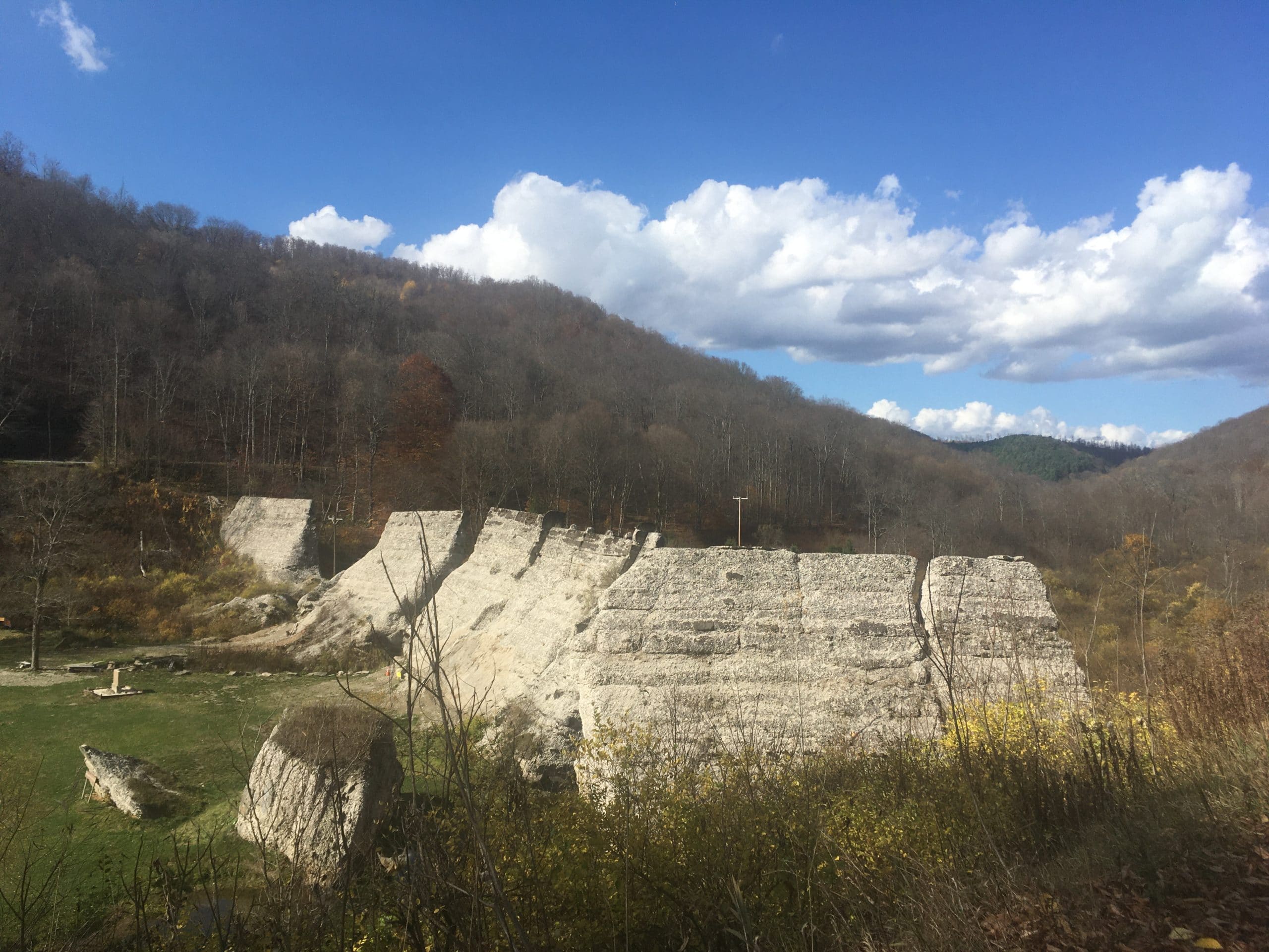
Just north of the route along Rt. 872 is a seemingly-little-known relic of Pennsylvania history — the half-crumbled remains of the Austin Dam, which in 1911 broke and flooded the downstream town of Austin and the Freeman Run Valley. It’s an interesting spot to check out and could even be incorporated into the ride as a detour if you don’t mind adding in a bit of pavement (check out that route option here).
The town of Benezette and another section of Elk State Forest are just under an hour southwest of Sizerville. Benezette features some cafes and the Elk Country Visitor Center. Keep your eyes peeled for elk — they can often be seen hanging out in town. There are plenty of mixed surface options to explore in this area of the forest as well, including the Thunder Mountain Equestrian Trails, which are chunkier doubletrack multi-use trails.
Quehanna Wild Area is just a little farther south, and features more gravel options, hiking trails, wildlife viewing opportunities and historical ruins. The Parker Dam Public Lands Ride route is also nearby.
Where to Stay:
Both Sizerville and Sinnemahoning State Parks offer modern campgrounds with showers, flush toilets and electric hookups. Sizerville offers some walk-in tent sites in a secluded, streamside setting. The Brooks Run Cabin at Sinnemahoning is along the route and has accommodations for 12 people, a full kitchen, stone fireplace and patio.
There are also a few inns and motels in Emporium, as well as some Airbnbs in the area.
Paper Maps:
There is no Purple Lizard Map of this area (yet), so check out the DCNR map of Elk State Forest here before you go. This map of Susquehannock State Forest is also good to check out for cross-referencing purposes if you plan to create your own ride — it is more up to date and also covers the portion of Elk State Forest utilized by this PLR route.
Don’t forget to tag us @pecpubliclandsride with your photos!